Rondreis Sauerland Winterberg Mohnesee Winterberg

This route was brought to you by:
RouteXpert Stijn Claus
Last edit: 10-04-2021
 Route Summary
  Share this route


Animation

Verdict


Duration
4h 48m

Mode of travel
Car or motorcycle

Distance
268.62 km

Countries

 RouteXpert Review
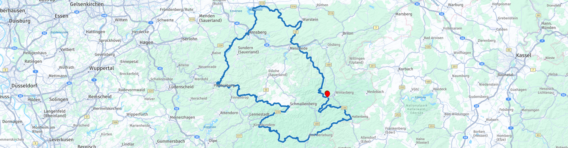
 The first part of this tour leads us Northwards where the attention is drawn to the beautiful view of the Hennesee. Shortly afterwards we bend off the main road and pass the Bilsteingrot. This cave system is located in the Arnsberg nature park which in turn is part of the Lürwald. The area consists of several hilltops, the highest is the Plackweghöhe which covers an altitude of 581.5 meters.
While the road winds up and down between the different hills, it is especially attentive to the Streckensperrungen motorrad or road closures for engines, especially the L856 MESCHEDE -HIRSCHBERG is closed.
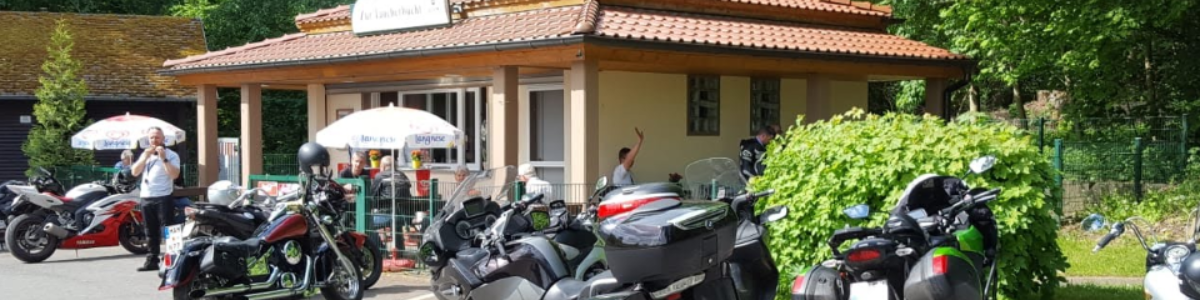
A few moments later we leave the forest and we arrive at the Mohnesee. This lake, which is also artificially constructed, provides the environment with drinking water and energy through its water turbines. There are many food and beverage outlets around the lake, all with a view of the lake. Besides cycling, walking and motorcycling, the Mohnesee is also very popular with divers.
A number of bends and a ridge continue to drive through the center of Arnsberg along the last Sorpesee towards Plettenberg. A number of hairpins follow again and pass through the ski area Wildeweisse, after which mountain pass is driven down again.
The following cornering combination is so good that the footrests draw a line in the asphalt.
Via the Rothaarkamm am Grenzweg nature reserve and the Hallenbergerwald we return to the direction of Winterberg.


 Links
Links  Usage
Usage Want to download this route?
You can download the route for free without MyRoute-app account. To do so, open the route and click 'save as'. Want to edit this route?
No problem, start by opening the route. Follow the tutorial and create your personal MyRoute-app account. After registration, your trial starts automatically.  Disclaimer
Use of this GPS route is at your own expense and risk. The route has been carefully composed and checked by a MyRoute-app accredited RouteXpert for use on TomTom, Garmin and MyRoute-app Navigation.
Changes may nevertheless have occurred due to changed circumstances, road diversions or seasonal closures. We therefore recommend checking each route before use.
Preferably use the route track in your navigation system. More information about the use of MyRoute-app can be found on the website under 'Community' or 'Academy'.