Baiersbronn Kropfmuhle

This route was brought to you by:
RouteXpert Hans van de Ven (Mr.MRA)
Last edit: 16-04-2021
 Route Summary
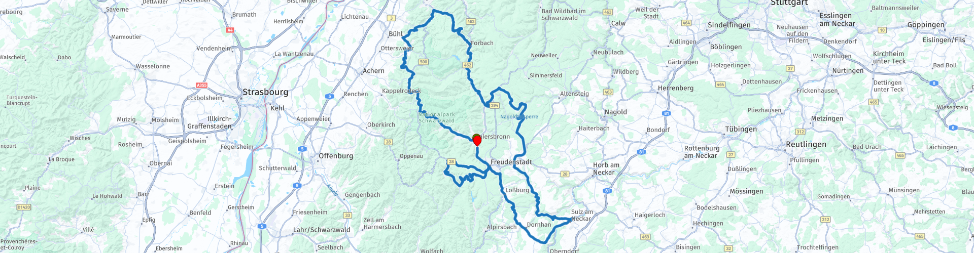
 Starting point and end point: Hotel Falken Baiersbronn.
Route made equal for Garmin, TT and MyRoute-app Navigation.
 Share this route


Animation

Verdict


Duration
5h 9m

Mode of travel
Car or motorcycle

Distance
209.24 km

Countries

 RouteXpert Review
 The first stop we make is at the viewpoint in Bühl, take some pictures and then continue towards the lunch location in Seewald, at Gaststätte Kropfmühle. This Gaststätte is beautifully situated on the main road and has plenty of parking spaces. During lunch, large groups of historic cars pass by at small intervals. The food is good and the service very friendly. After lunch we drive along the Nagoldtalsperre *.
* Nagoldtalsperre is located in the German state of Baden-Württemberg, was built between 1965 and 1970 and offers flood and drought protection in the Nagold Valley. It is located in the county of Freudenstadt and was opened in 1971. The nearest settlement is Seewald-Erzgrube. (Source: Wikipedia).
We then visit the town of Sulz am Neckar and then another round of Bad Rippoldsau-Schapbach /
Kniebis / Freudenstadt before we refuel the engines for the last time in Baiersbronn this week. We do not drive on Saturday, then we have ruhetag and we go to see the village and use the facilities of the hotel, such as the sauna, so that we can start the return journey on Sunday rested.
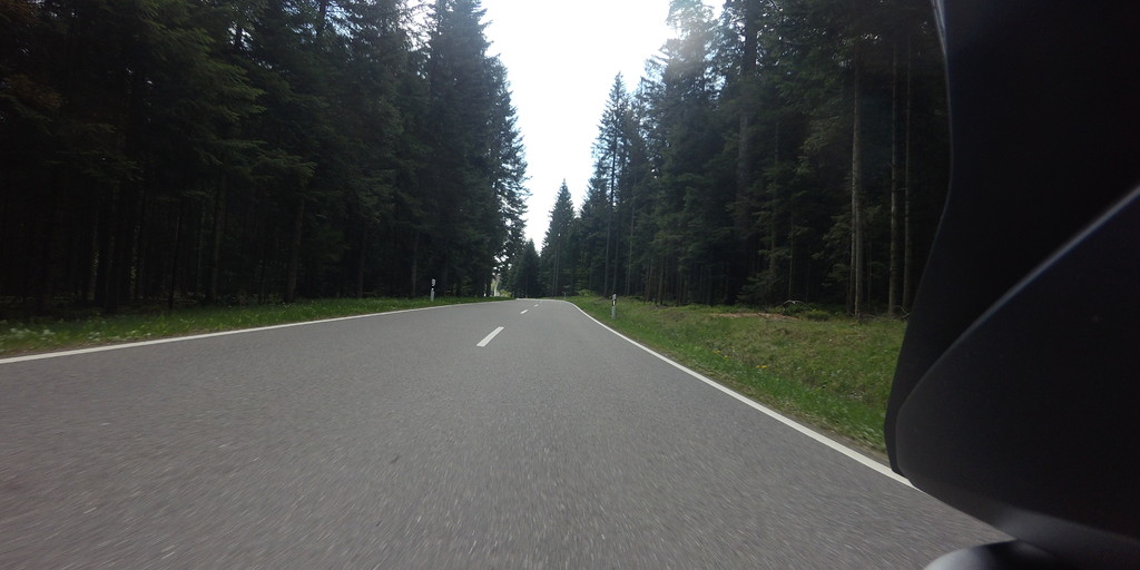
In this route you will again use the B500, the Schwarzwaldhochstraße **.
** The Schwarzwaldhochstraße is an impressive, wide road that runs right through the Black Forest. Another well-known name for this route is also B500. The winding route goes through the nature park and runs from Baden-Baden to Freudenstadt, at altitudes from 800 meters to one kilometer. The road offers visitors an enchanting view of the Rhine Valley and the Vosges, among other places. Not to be forgotten is that the beautiful nature certainly invites you to walk, take pictures and enjoy the sights along this route.
Just through Freudenstad and refuel in Baiersbronn before we are back at the hotel
Because we drove this route (for the most part) ourselves, we rate it with 5 stars.

 Links
Links  Usage
Usage Want to download this route?
You can download the route for free without MyRoute-app account. To do so, open the route and click 'save as'. Want to edit this route?
No problem, start by opening the route. Follow the tutorial and create your personal MyRoute-app account. After registration, your trial starts automatically.  Disclaimer
Use of this GPS route is at your own expense and risk. The route has been carefully composed and checked by a MyRoute-app accredited RouteXpert for use on TomTom, Garmin and MyRoute-app Navigation.
Changes may nevertheless have occurred due to changed circumstances, road diversions or seasonal closures. We therefore recommend checking each route before use.
Preferably use the route track in your navigation system. More information about the use of MyRoute-app can be found on the website under 'Community' or 'Academy'.