Day 02 of 12 Day Roadtrip Iceland Vik Kirkjubaejarklaustur

This route was brought to you by:
RouteXpert René Plücken (MRA Master)
Last edit: 12-02-2021
 Route Summary
 Driving in Iceland is a great experience whether you travel by car or as described in this review by motorcycle.
These routes are based on information about Iceland that you can find on the Internet, especially from the Guide to Iceland, where you can find a wealth of information to prepare you well for your trip. The material on this site has been compiled with great care, the link can be found in the review of the first route in this series.
The routes in the north are part of the 'Arctic Coast Way'
You drive through landscapes that are varied and beautiful, you see glacier tongues, volcanic mountains, geothermal areas with active geysers, lava fields, craters, forests, waterfalls and incredibly rugged stretches of coast.
The main roads are of good quality but you also drive a lot on gravel roads, so not suitable for road motorcycles. Some of these roads are sometimes closed due to the weather. It is therefore important that you check the weather forecasts and the situation of the roads every day before you leave, this information can be found on the website of "Icelandic Meteorological Office" and for the roads on the website of "The Icelandic Road and Coastal Administration" " The links are in the review.
Due to the Icelandic climate, this trip can only be made in the summer.
 Share this route


Animation

Verdict


Duration
12h 57m

Mode of travel
Car or motorcycle

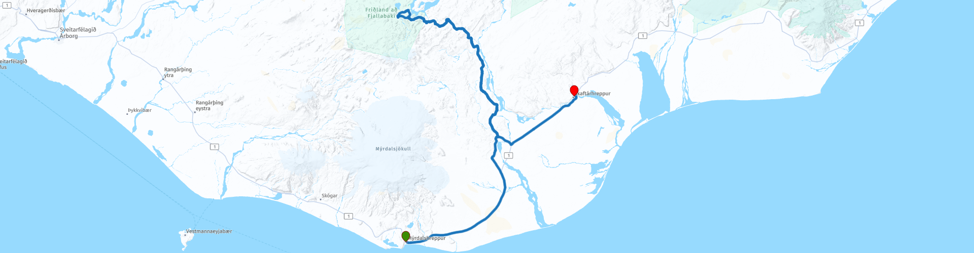
Distance
214.64 km

Countries

 RouteXpert Review
 Landmannalaugar is one of the most remarkable and fascinating places in the Icelandic highlands with extraordinary creations from Mother Nature and therefore one of the five most fascinating natural wonders you can visit in Iceland and perhaps one of the most interesting places you can visit in this area can visit the planet.
Although this unique spot in the Icelandic Highland, 600 meters above sea level, is best known for its geothermal baths, it is also the starting point for the famous 54 km hike trail, which takes about 4 days.
During the hike you will see an endless variety of geological formations, smoking hot springs, lava fields, rivers, creeks, gullies, gorges, gorges, volcanoes and rhyolite mountains that change color depending on the sun and clouds. It is a wonderland for photographers. This remote place is only open from July (sometimes mid-June) until the end of September.
So for enthusiasts there is the possibility to extend the trip with a few days to walk here. There is a campsite and a mountain hut to book overnight stays, to use the kitchen and the bathroom. All facilities are simple and very rustic. There are no groceries or supermarkets in the area.
There are no other sights on this route outside the Ófærufoss Waterfall, for which you have to deviate from the route at RP9. There are several places to stop for a photo and enjoy the vast Icelandic landscape.
You continue on Route 1 until you reach the historic settlement of Kirkjubæjarklaustur, where you spend the night in a hotel. To the north of this small village is the Stjórnarfoss, a small waterfall.
I rate this route with 3 *** Stars because of the beautiful Icelandic nature and the beautiful off road roads.


 Links
Links  Usage
Usage Want to download this route?
You can download the route for free without MyRoute-app account. To do so, open the route and click 'save as'. Want to edit this route?
No problem, start by opening the route. Follow the tutorial and create your personal MyRoute-app account. After registration, your trial starts automatically.  Disclaimer
Use of this GPS route is at your own expense and risk. The route has been carefully composed and checked by a MyRoute-app accredited RouteXpert for use on TomTom, Garmin and MyRoute-app Navigation.
Changes may nevertheless have occurred due to changed circumstances, road diversions or seasonal closures. We therefore recommend checking each route before use.
Preferably use the route track in your navigation system. More information about the use of MyRoute-app can be found on the website under 'Community' or 'Academy'.