TTT 2016 04 Slenaken Weismampach Slenaken

This route was brought to you by:
RouteXpert Hans van de Ven (Mr.MRA)
Last edit: 05-01-2020
 Route Summary
 This TTT are touring through the Netherlands with the occasional trip to Belgium, Germany or even Luxembourg, which are driven 6 to 7 times a year. The 1st around March and the last around October. These TTTs have a starting point, a pause location and an end point. It is nice to discover what you have not seen in your own country and which nice roads you did not know before.
This TTT is from 2016, so the route may differ slightly from the original.
I have checked all route points and, where necessary, placed them neatly on the road. Also, if necessary, I have further set the starting point and end point of the route a little further apart to prevent navigation to the end point directly and added the POI files of the start and end point, as well as possible pause location (s).
Finally, I made the route the same for TomTom, Garmin and MRA Navigation users.
Thanks to ANWB / Promoter.
 Share this route


Animation

Verdict


Duration
5h 16m

Mode of travel
Car or motorcycle

Distance
250.15 km

Countries


 RouteXpert Review
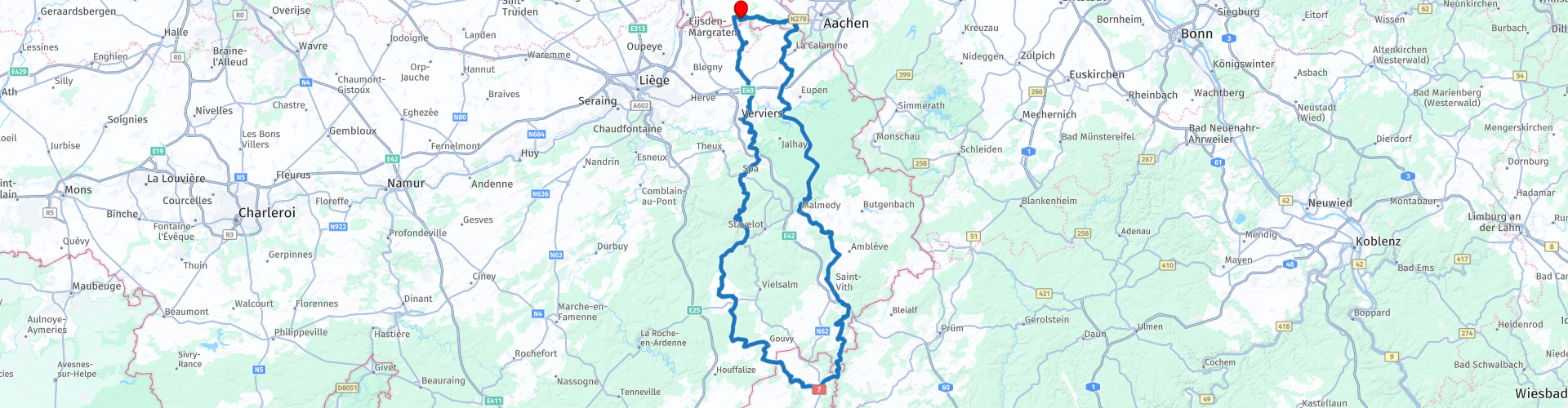
 You first drive to Verviers, don't worry, then start the party, then the motorcycle holiday feeling comes to mind again. Wonderful hills, beautiful nature and powerful steering roads, with a crack here and there! As stated, you also touch Luxembourg, so you fill up in Luxembourg!
Along the way you can stop at the Musée de la Forêt and des Eaux, this is a top museum about nature, animals and water. Or a little further at the Musée Décembre 1944. The "December 1944" museum faithfully reflects the history and shows visitors one of the most important collections in Europe.
Now that you are in Belgium, you cannot miss a fries, for that you can stop along the route at Friterie Bertrand in Trois-Points. When you enter Belgium from Luxembourg, you can stop at Europa Monument for a photo moment. The monument consists of five erect megalithic stones that symbolized five countries in the then European Community. On the stones are memorial plaques of important Europeans.
Furthermore, in St. Vith, you can stop at Total to stretch your legs and have a drink and for those who have not refueled in Luxembourg, you can do this here as well. In Balen, you can stop at Friterie Le Chalet, if you want to eat a Belgian fries or just to have a drink.
Then it goes via the 3-country point at Vaals via the Epenerbaan, where one of the most beautiful bends in the Netherlands is, to Slenaken.
Because I have driven this route myself, this route gets 5 stars.
Route details:
rp 14 - Musée de la Forêt and des Eaux
rp 16 - Musée Décembre 1944
rp 19 - Friterie Bertrand
rp 30 - Total tank stop in Luxembourg
rp 36 - Europe Monument
rp 39 - Total St.Vith
rp 52 - Friterie Le Chalet


 Links
Links  Usage
Usage Want to download this route?
You can download the route for free without MyRoute-app account. To do so, open the route and click 'save as'. Want to edit this route?
No problem, start by opening the route. Follow the tutorial and create your personal MyRoute-app account. After registration, your trial starts automatically.  Disclaimer
Use of this GPS route is at your own expense and risk. The route has been carefully composed and checked by a MyRoute-app accredited RouteXpert for use on TomTom, Garmin and MyRoute-app Navigation.
Changes may nevertheless have occurred due to changed circumstances, road diversions or seasonal closures. We therefore recommend checking each route before use.
Preferably use the route track in your navigation system. More information about the use of MyRoute-app can be found on the website under 'Community' or 'Academy'.