TTT 2002 02 Graafschap Betuwe

This route was brought to you by:
RouteXpert Hans van de Ven (Mr.MRA)
Last edit: 23-04-2021
 Route Summary
 The 173 ANWB Promoter TankTasTochten (TTT) were scanned by Henry ten Dam and signed by Leon Stolk in Mapsource and later placed as a Track in a .gpx file. These have been made available with the approval of ANWB Promotor via the website of MrGPS so that everyone can enjoy it. The 1st TTT is from 1992, so the route may be slightly different from the original.
I checked all route points and placed them neatly on the road. Also, if necessary, I have put the start point and end point of the route a bit further apart to avoid navigating directly to the end point and I have added the POI files from the start and end point just like a possible stopping point.
Finally, I created the route for TomTom, Garmin and MyRoute-app Navigation users.
With thanks to Henry, Leon, MrGPS and Promoter.
 Share this route


Animation

Verdict


Duration
4h 6m

Mode of travel
Car or motorcycle

Distance
135.05 km

Countries


 RouteXpert Review
 * Lobith is a Dutch town known as the point where the Rhine enters the Netherlands at Rkm 863.4. In reality, this river enters Spijk and then passes through Tolkamer, and Lobith is not even along the river but a bit further inland.
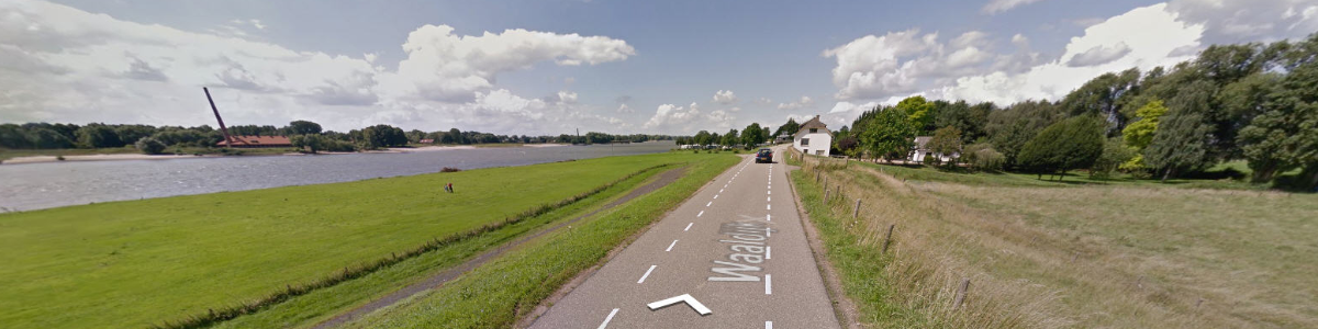
After lunch you drive underneath Bemmel to Lent, to go to Oosterhout de Waaldijk and continue to follow this 15 KM until Eldik. Then via Kesteren and Lienden to the terminus in Buren.
Because I have not driven this route (yet) myself, this route gets 3 stars.
Route details:
The route is created for TomTom, Garmin and MyRoute-app Navigation users. That has succeeded everywhere except in Animals between route points 25 and 26 (Purple), TomTom and Garmin do not agree with each other. No big problem, if you drive alone you just follow the instructions of your GPS, you drive in a group then you follow the front rider. From route point 26 the two will come together again and your GPS will follow the route correctly again.

 Usage
Usage Want to download this route?
You can download the route for free without MyRoute-app account. To do so, open the route and click 'save as'. Want to edit this route?
No problem, start by opening the route. Follow the tutorial and create your personal MyRoute-app account. After registration, your trial starts automatically.  Disclaimer
Use of this GPS route is at your own expense and risk. The route has been carefully composed and checked by a MyRoute-app accredited RouteXpert for use on TomTom, Garmin and MyRoute-app Navigation.
Changes may nevertheless have occurred due to changed circumstances, road diversions or seasonal closures. We therefore recommend checking each route before use.
Preferably use the route track in your navigation system. More information about the use of MyRoute-app can be found on the website under 'Community' or 'Academy'.