TTT 1996 03 Over de Utrechtse Heuvelrug

This route was brought to you by:
RouteXpert Hans van de Ven (Mr.MRA)
Last edit: 06-02-2023
 Route Summary
 The 173 ANWB Promotor TankTasTochten (TTT) were scanned by Henry ten Dam and drawn in Mapsource by Leon Stolk and later placed as a Track in a .gpx file. These have been made available via the MrGPS website with the approval of ANWB Promotor so that everyone can enjoy them. The 1st TTT is from 1992, so the route may differ slightly from the original.
I have checked all waypoints and placed them neatly on the road where necessary. Also, if necessary, I have spaced the start point and end point of the route a bit further apart to avoid navigating directly to the end point and added the POI files of the start and end point as well as a possible stop.
Finally, I made the route the same for TomTom, Garmin and MyRoute-app Navigation users.
Thanks to Henry, Leon, MrGPS and Promoter.
!06-02-2023: Route adjusted due to closures around Soesterberg.
@Evert Kuiken thanks for passing it on.
 Share this route


Animation

Verdict


Duration
4h 10m

Mode of travel
Car or motorcycle

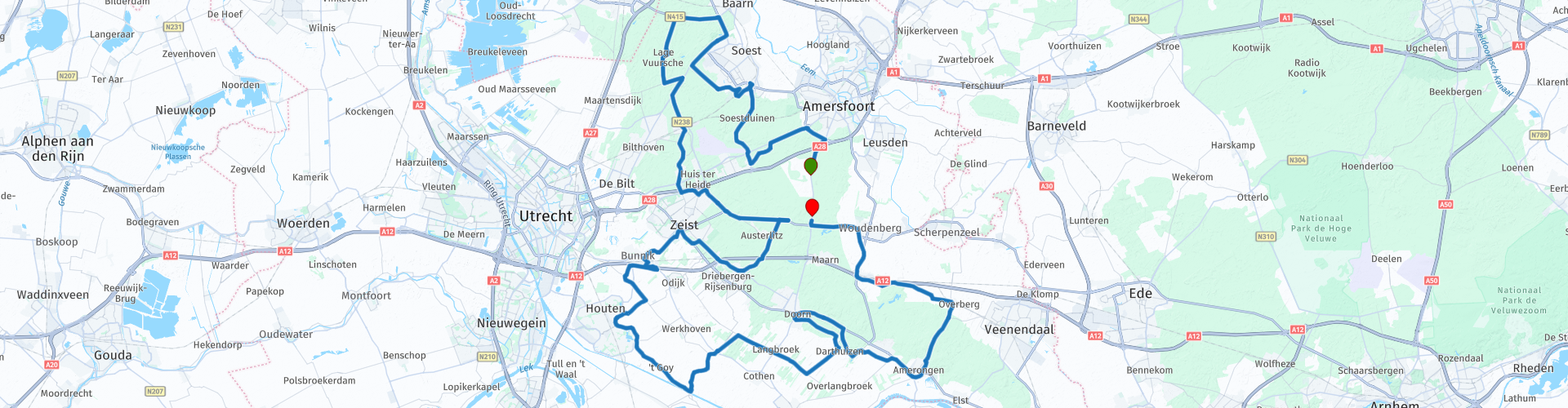
Distance
128.64 km

Countries

 RouteXpert Review
 The Utrechtse Heuvelrug is a sand ridge in the landscape of the Dutch provinces Utrecht and Noord-Holland between the peripheral lakes in the northwest and the Rhine in the southeast. The contours of the long ridge running from Huizen to Rhenen are clearly visible everywhere. The Utrechtse Heuvelrug has several 'peaks' above 50 meters. The highest point is the Amerongse Berg with 69.2 meters above sea level. The southernmost point is the Grebbeberg.
The Utrechtse Heuvelrug has a lot of forest. In addition, we find a number of heathlands and some shifting sands. The area stretches from the Gooimeer to the Nederrijn over a total length of approximately 50 km. The total area is approximately 23,000 hectares. This makes it the largest forest area in the Netherlands after the Veluwe.
More about the Utrechtse Heuvelrug (moraine): https://nl.wikipedia.org/wiki/Utrechtse_Heuvelrug_(stuwwal)
You will pass include Soesterberg Air Base:
Soesterberg Air Base was a military airfield near Soesterberg, between Utrecht and Amersfoort. The airport was the cradle of military aviation in the Netherlands; in 1913 the Aviation Department (LVA) of the army made its first flights here. Due to cuts in defense, the base was closed and closed in November 2008. The largest part of it has since been managed as a nature reserve: the Park Vliegbasis Soesterberg.
Soesterberg air base has been laid out on the Sandr van Soesterberg, an almost flat range of sand and gravel, which has been rinsed out during the Saalian, the penultimate ice age.
More info about Soesterberg Air Base: https://nl.wikipedia.org/wiki/Vliegbasis_Soesterberg
and
https://www.utrechtslandschap.nl/natuurgebieden/park-vliegbasis-soesterberg/park-vliegbasis-soesterberg
Because I have not driven this route (yet) myself, this route gets 3 stars.
Route details:
On the way there are enough possibilities to eat and / or drink and to take pictures, for example:
rp 32 - Slot Zeist, nice location to take a picture.


 Usage
Usage Want to download this route?
You can download the route for free without MyRoute-app account. To do so, open the route and click 'save as'. Want to edit this route?
No problem, start by opening the route. Follow the tutorial and create your personal MyRoute-app account. After registration, your trial starts automatically.  Disclaimer
Use of this GPS route is at your own expense and risk. The route has been carefully composed and checked by a MyRoute-app accredited RouteXpert for use on TomTom, Garmin and MyRoute-app Navigation.
Changes may nevertheless have occurred due to changed circumstances, road diversions or seasonal closures. We therefore recommend checking each route before use.
Preferably use the route track in your navigation system. More information about the use of MyRoute-app can be found on the website under 'Community' or 'Academy'.