Romania Transalpina DN67C

This route was brought to you by:
RouteXpert Krystian Lis
Last edit: 06-02-2019
 Route Summary
  Share this route


Animation

Verdict


Duration
2h 44m

Mode of travel
Car or motorcycle

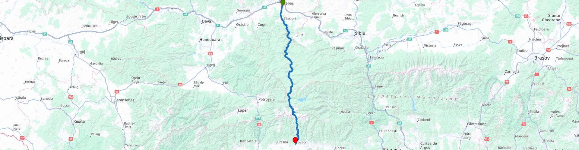
Distance
134.17 km

Countries

 RouteXpert Review
 Transalpina is one of three roads running across the Romanian Carpathians. It reaches the maximum height of 2 145 m above sea level. A multitude of serpentines and very difficult road conditions mean that it takes several hours to travel a stretch of over 130 km.
The highest point is the Urdele Pass. Transalpina is closed for traffic during the winter months.


 Usage
Usage Want to download this route?
You can download the route for free without MyRoute-app account. To do so, open the route and click 'save as'. Want to edit this route?
No problem, start by opening the route. Follow the tutorial and create your personal MyRoute-app account. After registration, your trial starts automatically.  Disclaimer
Use of this GPS route is at your own expense and risk. The route has been carefully composed and checked by a MyRoute-app accredited RouteXpert for use on TomTom, Garmin and MyRoute-app Navigation.
Changes may nevertheless have occurred due to changed circumstances, road diversions or seasonal closures. We therefore recommend checking each route before use.
Preferably use the route track in your navigation system. More information about the use of MyRoute-app can be found on the website under 'Community' or 'Academy'.