TTT 2020 05 Rondje Brabantse Wal vanuit Etten Leur

This route was brought to you by:
RouteXpert Hans van de Ven (Mr.MRA)
Last edit: 06-09-2020
 Route Summary
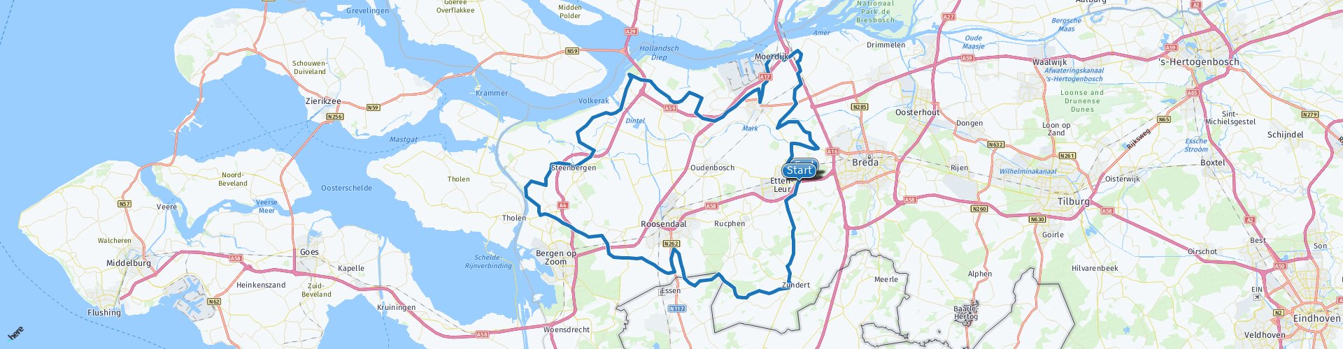
 These TTT are tours through the Netherlands with an occasional trip to Belgium, Germany or even Luxembourg, which are held 6 to 7 times a year. The 1st around March and the last around October. These TTT have a starting point, a pause point and an end point. It is nice to discover what you have not yet seen in your own country and which nice roads you did not know yet.
This TTT may differ slightly from the original.
I have checked all route points and placed them neatly on the road where necessary. Also, if necessary, I have set the start point and end point of the route a bit further apart to avoid navigating directly to the end point and I added the POI files of the start and end point as well as possible pause place (s).
Finally, I equalized the route for TomTom, Garmin and MRA Navigation users.
Thanks to Promotor.
Pay attention! In connection with the tightened measures due to the Corona crisis, you may need to reserve a picture on the terrace, so bring some food and drink for the road.
 Share this route


Animation

Verdict


Duration
4h 20m

Mode of travel
Car or motorcycle

Distance
150.40 km

Countries

 RouteXpert Review
 Zundert, the birthplace of Vincent van Gogh, as is known, but our interest is mainly De Scooter. Under that name, the old Cor van Seters manages a private collection of two-wheelers. They are mainly Lambrettas, but he also has a couple of Heinkels, a Florett with such a headlight club and, amazing device, the Honda Stream. All beautiful of course, especially that Stream with its tilting front train. But what does he have with Lambretta? Cor, a man with a great sense of technology: 'They cannot be broken. At the moment they are running even more races on it. Eh… excuse me… unbreakable, Cor? It's Italian… 'Yes, but Lambretta has German quality. Only the inflammation was wrong. That's why I converted it to electric myself. But otherwise… Lambretta is still my great love. I myself fall in love with a pink ISO from the fifties, with the spare wheel horizontally on the back. A dragon of a device, it never ends. The museum at Heischootseweg 4 in Klein Zundert is open on Wednesdays, Thursdays, Fridays and Saturdays and for groups by appointment. Tel. 076-5975913.
Of course I also tried to reach the heart of Roosendaal, but all people, they have hidden that well. It is one succession of new housing estates, of gabled roofs and front gardens and residential areas, no way through. No, then Bergen op Zoom, with its Markiezenhof and its Paradeplaats and its Grote Markt. Really old splendor. You reach it via the Rietgoorsestraat and the Westelaarsestraat - fine winding roads with a good overview, so you can stamp on a lot. The Heerlesebaan, another beautiful piece. But then. While you zoom over the Schansbaan, with slowly rising forest to the left, a completely different landscape suddenly emerges on the right. Before you know it, you have exchanged the intimacy of Brabant's sandy soils for the openness of the sea clay area. It is wide and deserted here, on the Glymesweg and the Rubeerdijk and the Zeeweg, light and as flat as a dime. In no time you will be navigating narrow dikes to the spire of Steenbergen, the first of a few surprises. The largest is perhaps Willemstad, once started as a hamlet from which the area was impoldered, later turned into a fortress by William of Orange in his fight against the Spanjool. It remains amazing to see how much beauty the military company sometimes produces. The Koepelkerk, the Mauritshuis, the Arsenaal and then that little harbor, at the end of the Voorstraat.
It is teeming with fine dikes, there in the northwest of Brabant. But one is really beautiful, and that is the Koekoeksedijk along the Roode Vaart near Zevenbergen. It is a two kilometer drive in the shade of fully grown ash trees and really, you rarely come across something so impressive. One problem: the trees suffer from the ash branch dieback which means that with a little wind the branches break from the crown of the trees - dangerous to life. And so the Koekoeksedijk (just like the Landekensdijk in the area) is in danger of being stripped of its ash and thus of its majestic decor. After the Dutch elm disease of twenty years ago and the chestnut bleeding disease of ten years ago, this is the third epidemic to affect our trees.
Because I have not (yet) driven this route myself, this route gets 3 stars.


 Links
Links  Usage
Usage Want to download this route?
You can download the route for free without MyRoute-app account. To do so, open the route and click 'save as'. Want to edit this route?
No problem, start by opening the route. Follow the tutorial and create your personal MyRoute-app account. After registration, your trial starts automatically.  Disclaimer
Use of this GPS route is at your own expense and risk. The route has been carefully composed and checked by a MyRoute-app accredited RouteXpert for use on TomTom, Garmin and MyRoute-app Navigation.
Changes may nevertheless have occurred due to changed circumstances, road diversions or seasonal closures. We therefore recommend checking each route before use.
Preferably use the route track in your navigation system. More information about the use of MyRoute-app can be found on the website under 'Community' or 'Academy'.