TTT 2010 07 Brabant Limburg

This route was brought to you by:
RouteXpert Hans van de Ven (Mr.MRA)
Last edit: 21-04-2019
 Route Summary
 The 173 ANWB Promoter TankTasTocht (TTT) were scanned by Henry ten Dam and signed by Leon Stolk in Mapsource and later placed as a Track in a .gpx file. These have been made available through the MrGPS website with the approval of the ANWB Promoter so that everyone can enjoy it. The 1st TTT is from 1992, so the route may differ slightly from the original.
I have checked all route points and, where necessary, placed them neatly on the road. Also, if necessary, I have further spaced the start point and end point of the route to avoid navigating directly to the end point and I added the POI files from the start and end point just like a possible stop point.
Finally, I made the route the same for TomTom, Garmin and MyRoute-app Navigation users.
Thanks to Henry, Leon, MrGPS and Promoter.
 Share this route


Animation

Verdict


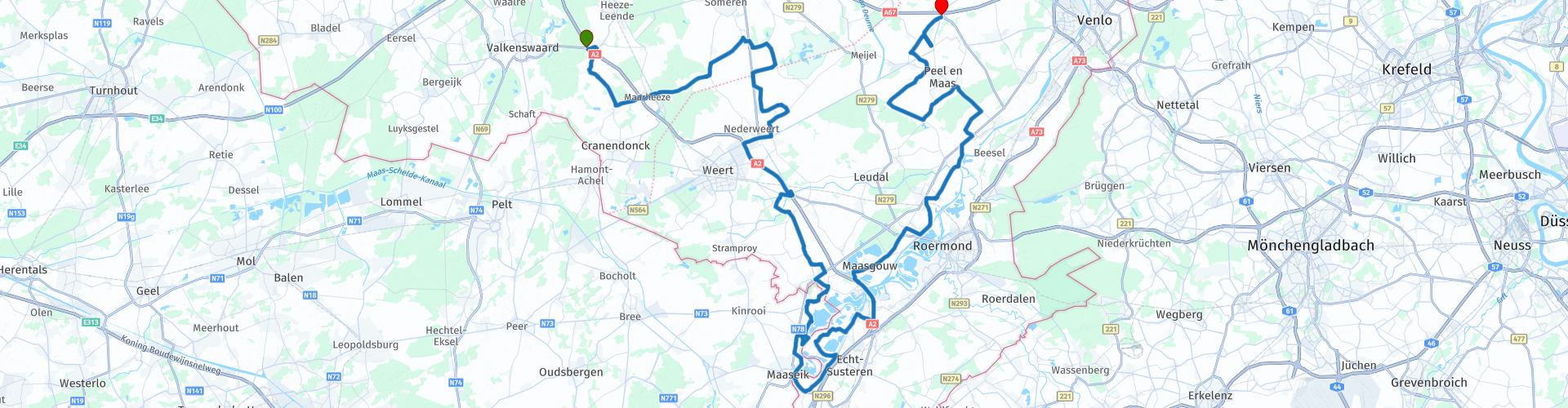
Duration
3h 27m

Mode of travel
Car or motorcycle

Distance
136.06 km

Countries


 RouteXpert Review
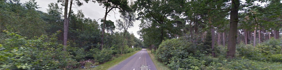
 After the start, go via Leende to Soerendonk and then drive through the Weerterbos * to Someren-Eind.
* The Weerterbos is a nature reserve in the Dutch province of Limburg, located northwest of Weert. The area is located on the territory of the municipality of Nederweert. The Weerterbos consists of forests, fens, grassland and small moors. (Source: Wikipedia).
We then descend to the "White town" of Thorn ** and then enter Belgium for the coffee break in Kinrooi.
** The white town of Thorn, visited by many tourists, has a rich history, dating back to the end of the 10th century. In the course of time a miniature principality developed under the leadership of an abbess and 20 noble monastic ladies. The state had its own case law and struck its own coin. In 1794 this came to an end with the arrival of the French. Then Thorn got its distinctive white color. After the noble ladies fled, the French introduced a tax based on the size of the windows. The poor population, often living in large buildings, previously belonging to rich people, could not afford it. To limit the amount of the tax assessment, the windows were bricked up. With the aim of hiding the construction tracks ("scars of poverty"), the houses were whitewashed.
After coffee we cross the border at Maaseik back to the Netherlands and at Maasbracht we go for 4 KM on the highway to get off at Panheel. We drive in a northerly direction to Helden where you enter via the Heldense Bossen and then meandering to the end point in Maasbree.
Because I have driven large parts of this route myself, this route gets 4 stars.
Route details:
rp 19 - Coffee stop at Beachclub de Steenberg.


 Links
Links  Usage
Usage Want to download this route?
You can download the route for free without MyRoute-app account. To do so, open the route and click 'save as'. Want to edit this route?
No problem, start by opening the route. Follow the tutorial and create your personal MyRoute-app account. After registration, your trial starts automatically.  Disclaimer
Use of this GPS route is at your own expense and risk. The route has been carefully composed and checked by a MyRoute-app accredited RouteXpert for use on TomTom, Garmin and MyRoute-app Navigation.
Changes may nevertheless have occurred due to changed circumstances, road diversions or seasonal closures. We therefore recommend checking each route before use.
Preferably use the route track in your navigation system. More information about the use of MyRoute-app can be found on the website under 'Community' or 'Academy'.