Rondrit Westerwald vanuit Obersteinebach

This route was brought to you by:
RouteXpert Hans van de Ven (Mr.MRA)
Last edit: 25-04-2020
 Route Summary
  Share this route


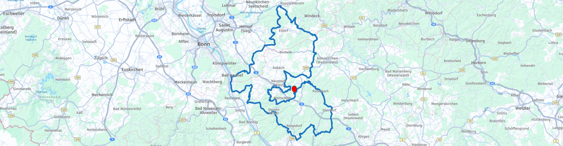
Animation

Verdict


Duration
5h 30m

Mode of travel
Car or motorcycle

Distance
242.74 km

Countries

 RouteXpert Review
 The mountain is wooded for 40 percent and there is formation of slate, clay and iron ore. The mountains are bordered by the Rhine rivers in the west, the Sieg in the north, the Dill in the east, and the Lahn in the south.
The highest peak of the mountain is the Fuchskauten of 656 meters and the sights are the castle Dillenburg, the city of Siegburg and the city of Limburg an der Lahn. The nearest town is Koblenz. (Source: Wikipedia)
Hotel Heiderhof is the start and end point of this route, we stayed here with MTC-Zeilberg the weekend of 8 June 2018.


 Usage
Usage Want to download this route?
You can download the route for free without MyRoute-app account. To do so, open the route and click 'save as'. Want to edit this route?
No problem, start by opening the route. Follow the tutorial and create your personal MyRoute-app account. After registration, your trial starts automatically.  Disclaimer
Use of this GPS route is at your own expense and risk. The route has been carefully composed and checked by a MyRoute-app accredited RouteXpert for use on TomTom, Garmin and MyRoute-app Navigation.
Changes may nevertheless have occurred due to changed circumstances, road diversions or seasonal closures. We therefore recommend checking each route before use.
Preferably use the route track in your navigation system. More information about the use of MyRoute-app can be found on the website under 'Community' or 'Academy'.