06 Erzincan to Erzurum via Bayburt

This route was brought to you by:
RouteXpert Yannis Papadiotis (wheelboy)
Last edit: 13-12-2025
 Route Summary
 Turkey isn’t just a country, it’s a rider’s playground. This is the 6th of 12 stage journey takes you from Aegean coastlines through mountains, plains, and fairytale valleys all the way to the Black Sea and back west again.
Each leg has its own flavor, so here’s a deeper look.
Route 6:
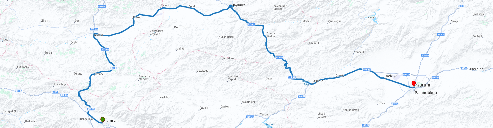
The ride from Erzincan to Erzurum begins across quiet highland plains, with a brief glimpse of a small lake near Salyazı before reaching Şehit Osman Türbesi, where wide views extend all the way to Bayburt Castle. The castle itself is the next stop, offering striking perspectives over the river before you roll into Bayburt for coffee and a short riverside walk. The ascent over Kop Dağı brings a welcome change, a rugged scenery and a flowing series of curves that highlight the route’s best riding. After refueling in Aşkale, greener landscapes guide you into Erzurum, where major Seljuk and Ottoman landmarks await.
A balanced, scenic, 4* ride.
 Share this route


Animation

Verdict


Duration
5h 57m

Mode of travel
Car or motorcycle

Distance
283.35 km

Countries

 RouteXpert Review
 A few minutes later, the landscape begins to rise gently until you reach Şehit Osman Türbesi, the first proper stop. The shrine sits on elevated ground, offering a clear and surprisingly cinematic view of Bayburt Castle in the distance. The two landmarks visually frame each other across the valley one a place of remembrance, the other a fortress carved into the high rock above the river. From the castle side, the perspective reverses, the Şehit Osman Türbesi stands out as a solitary white mark on the hills with a clear view on the river as well.
The castle is the second major photo stop, its rugged walls and volcanic rock base creating a commanding silhouette. After leaving the castle the backside of the castle offers a beautiful view of the castle’s backside and the river, especially as the road hugs the water. It’s a perfect moment to slow down and take in the scenery.
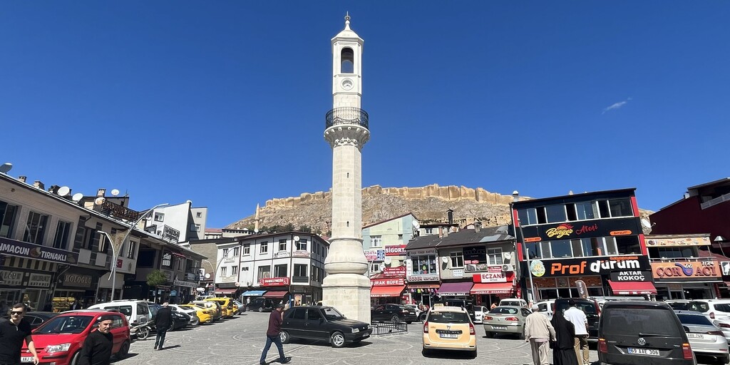
In Bayburt, a coffee or light lunch stop works well. Crossing the river reveals small local shops bakeries, spice sellers, and modest cafés which make for a relaxed, human pause before the road reclaims your attention.
Leaving the city, the climb toward Kop Dağı begins. The landscape shifts to more rugged mountain terrain, and after the summit, the road rewards you with roughly 15 km of enjoyable curves, the most engaging riding section of the day. Once you drop off the pass, the terrain softens again into high plateaus until the fuel stop at Aşkale marks the final transition.
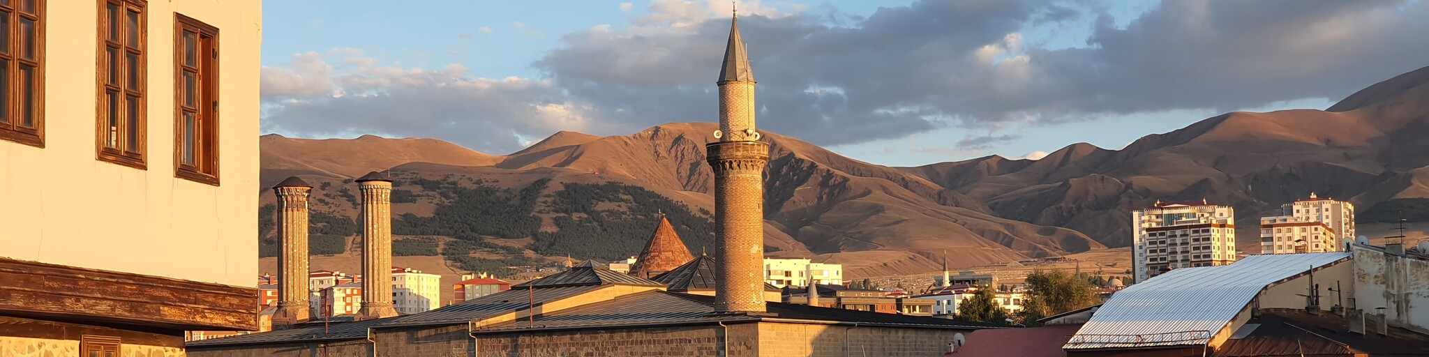
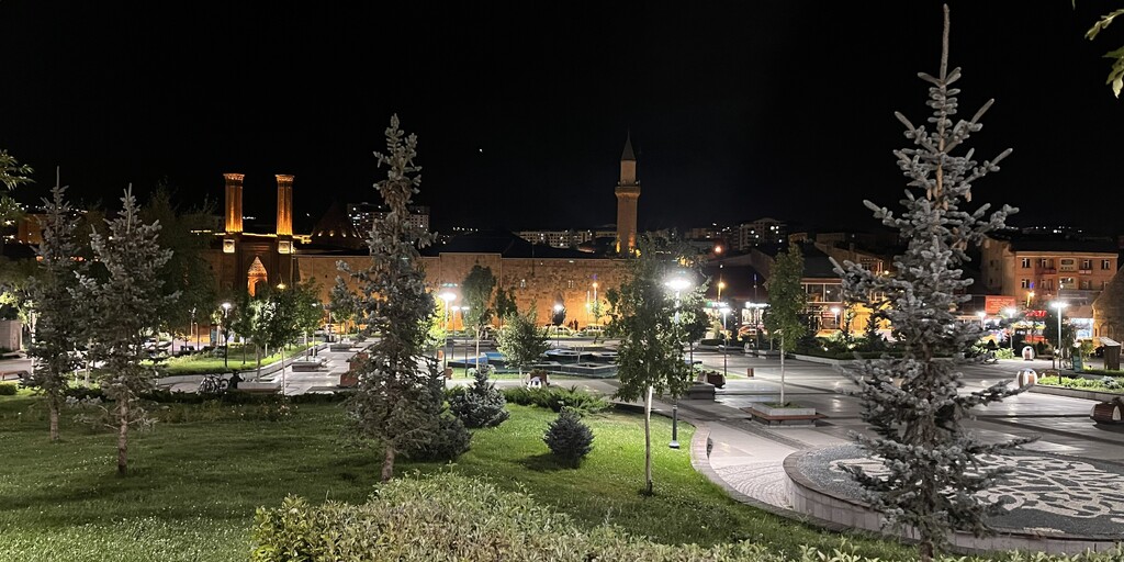
Between Aşkale and Erzurum, the scenery becomes steadily greener, a clear contrast to the drier early stages. Just before reaching your hotel, the elegant Yakutiye Medresesi appears on the left, a final reminder of the region’s deep Seljuk identity.
After check-in, Erzurum offers several sights within reach: Erzurum Castle and the surrounding park, the Double Minaret Madrasa, the Three Kümbets, the Erzurum Museum, the House of Atatürk, and the Lala Mustafa Pasha Mosque. It’s a compact but rich historical center, ideal for late-afternoon exploration.
 Links
Links  Usage
Usage Want to download this route?
You can download the route for free without MyRoute-app account. To do so, open the route and click 'save as'. Want to edit this route?
No problem, start by opening the route. Follow the tutorial and create your personal MyRoute-app account. After registration, your trial starts automatically.  Disclaimer
Use of this GPS route is at your own expense and risk. The route has been carefully composed and checked by a MyRoute-app accredited RouteXpert for use on TomTom, Garmin and MyRoute-app Navigation.
Changes may nevertheless have occurred due to changed circumstances, road diversions or seasonal closures. We therefore recommend checking each route before use.
Preferably use the route track in your navigation system. More information about the use of MyRoute-app can be found on the website under 'Community' or 'Academy'.

Bayburt
About this region
Bayburt (Armenian: Բայբերդ, romanized: Bayberd) is a city in northeast Turkey lying on the Çoruh River and is the provincial capital of Bayburt Province. According to the 2017 census the population is determined as around 80 000.Bayburt was once an important center on the ancient Silk Road. It was visited by Marco Polo and Evliya Çelebi. Remains of its medieval castle still exist. There are several historical mosques, Turkish baths, and tombs in the city. There are also ancient historical sites such as the Çatalçeşme Underground Complex and natural wonders like the Sirakayalar Waterfall in the other parts of the province.
Read more on Wikipedia
View region
 Statistics
  1
1Amount of RX reviews (Bayburt)
 217
217Amount of visitors (Bayburt)
 1
1Amount of downloads (Bayburt)
 Route Collections in this region
 Riding Across Turkey Route by Route
This route collection offers a complete journey across Turkey, combining iconic landmarks with diverse landscapes.
Starting from the Aegean coast, you explore Ephesus and Pamukkale before heading inland to Lake Salda and Sagalassos. Cappadocia forms a highlight with its unique rock formations and underground cities. The route then crosses central Anatolia’s wide plains toward the rugged east, where quieter roads and dramatic scenery dominate. A major contrast follows along the Black Sea, with green mountains and coastal views. The return west through Bursa and Pergamon adds rich history.
Overall, this is a well balanced itinerary ideal for travelers seeking variety, culture, and scenic driving.
View Route Collection