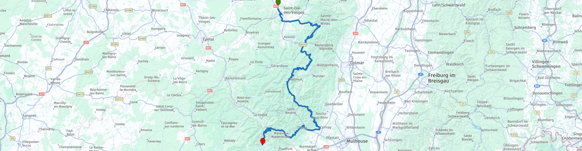
Van Saint Dié Des Vosges naar Giromagny via de route des cretes Vosges

This route was brought to you by:
RouteXpert Stijn Claus
Last edit: 20-03-2019
 Route Summary
 The road lies between the Col du Bonhomme in the north and Cernay in the south.
The roads vary from secondary b-roads to narrow mountain roads. Most roads are of good quality.
 Share this route


Animation

Verdict


Duration
3h 46m

Mode of travel
Car or motorcycle

Distance
196.79 km

Countries

 RouteXpert Review
 Created in 1914 by the French army, the route connects the different valleys of the Vosges.
Dense forests, steep slopes and lush green landscapes unfold in the middle of many hairpin bends
On the way we pass to many mountain passes such as:
Col de Sainte-Marie
Col du bonhomme
Col de la Schlucht
Hohneck
Klintzkopf
Rothenbachkopf
Rainkopf
Hartmannswillerkopf
Route Joffre
The highlight of the ride is the Grand Ballon, the highest peak in the Vosges (1,424 m high).


 Links
Links  Usage
Usage Want to download this route?
You can download the route for free without MyRoute-app account. To do so, open the route and click 'save as'. Want to edit this route?
No problem, start by opening the route. Follow the tutorial and create your personal MyRoute-app account. After registration, your trial starts automatically.  Disclaimer
Use of this GPS route is at your own expense and risk. The route has been carefully composed and checked by a MyRoute-app accredited RouteXpert for use on TomTom, Garmin and MyRoute-app Navigation.
Changes may nevertheless have occurred due to changed circumstances, road diversions or seasonal closures. We therefore recommend checking each route before use.
Preferably use the route track in your navigation system. More information about the use of MyRoute-app can be found on the website under 'Community' or 'Academy'.