D04 Custer Wall

This route was brought to you by:
RouteXpert Hans van de Ven (Mr.MRA)
Last edit: 02-05-2021
 Route Summary
 The roads are good and the views are wide and beautiful, you should definitely do a longer stop at the Crazy Horse Memorial.
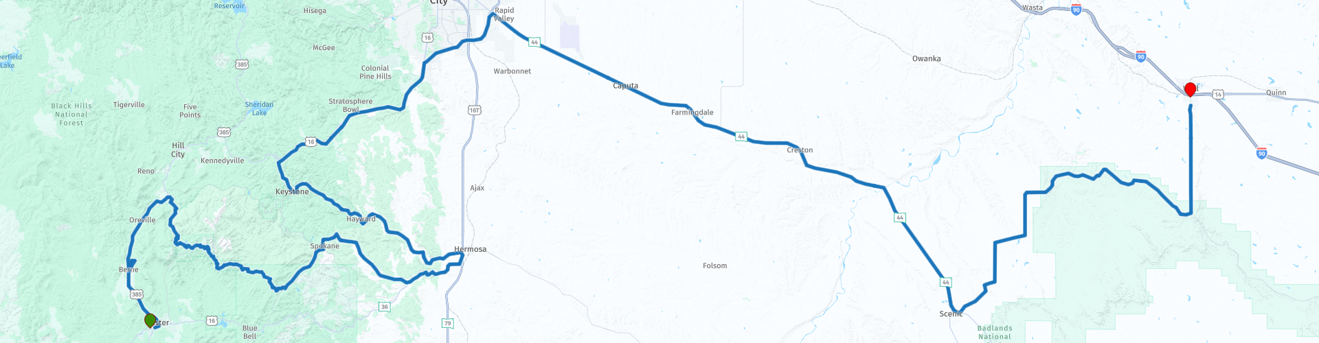
Starting point: Best Western Buffalo Ridge Inn
End point: Best Western Plains Motel
The route has been made the same for TomTom, Garmin and MyRoute-app Navigation users.
Thanks to Richard & Lisa for the information!
 Share this route


Animation

Verdict


Duration
5h 59m

Mode of travel
Car or motorcycle

Distance
252.16 km

Countries

 RouteXpert Review
 Far before you approach the town, the advertising signs are already along the I-90. Because you are confronted with this far in advance, you must visit this "city". The Wall Drugstore (this is where it all started) is the most famous store, with countless souvenirs and free ice water and stickers for every visitor. Popular bumper stickers are "Where the heck is Wall Drug?", "How many miles to Wall Drug?", And "Where in the world is Wall Drug?".
But before the time comes, first visit the Crazy Horse Memorial, this is a monument currently being carved into the granite of the Black Hills in the US state of South Dakota, in honor of the 19th-century Lakota leader Crazy Horse. When it is finished, it will portray Crazy Horse riding a galloping horse. (See website for details). After visiting the Crazy Horse Memorial, you can stop in Hermosa to eat and drink before heading back into the Black Hills. After the Black Hills and refueling and shopping in Rapid City, this is the last place you can refuel before the end point. It is also nice to stop in the Badlands National Park or along the unpaved Sage Creek Road for something to drink and eat, perhaps you will get a visit from a Bison.
After Sage Creek Road, turn left to drive a straight line to Wall where you can refuel the engine just in front of the hotel and go shopping at the Wall Drug Store after check-in. You must have been there.
In this 4-star route you will drive along beautiful good roads, with a nice stop at the Crazy Horse Memorial and of course shopping in Wall.
History:
The Badlands were created as a result of two geological processes: deposition and erosion. Various layers of sedimentary rock have been created by deposits of different materials such as sand, salt and clay. From the Cretaceous period (75 to 67 million years ago) to the oligocene (34 to 26 million years ago), the area has been a sea, tropical land and a wooded land with rivers. Each landscape had its own characteristics, which are now reflected in the different colors of rock layers. The light-colored Sharps Formation, which now forms the rough peaks and canyons, is the youngest layer of rock and was formed 28 to 30 million years ago by wind and water. The climate was dry and cool at the time and volcanic eruptions covered the country with ash. In the lower areas, the rivers continued to deposit rocks from the Black Hills. The depositing of material stopped 500,000 years ago, when the Cheyenne River added the streams from the mountains. The water no longer reached the Badlands, resulting in erosion. New rivers found their way through the rock layers and carved all possible forms in the Badlandsvlakte. Because the area drops about 2.5 centimeters each year, it is expected that in 500,000 years not much will be left of the Badlands.
Various objects and remains from the ecocene and oligocene have been found under the many layers of soil. During the late ecocene and early oligocene (37 to 28 million years ago), the area was more fertile, damp and warmer than today. During large floods many mammals such as camels, three-toe horses, oreodons (herbivores the size of sheep), rhinos and rabbits were killed. As a result, their remains were buried under river sediment. The fossils of marine animals found are even older. In the Pierre Shale and Fox Hills Formations, fossils of fish, marine reptiles and turtles from 75 to 67 million years old have been found. Human utensils and bones that surfaced are no more than 11,000 years old.
The Lakota Indians, who inhabited the area before the European colonization, made the first finds. Then came the fur-hunters, who took away found objects. The first article about the finds was published in the mid-nineteenth century. This made fossil hunting in the Badlands incredibly popular.


 Links
Links  Usage
Usage Want to download this route?
You can download the route for free without MyRoute-app account. To do so, open the route and click 'save as'. Want to edit this route?
No problem, start by opening the route. Follow the tutorial and create your personal MyRoute-app account. After registration, your trial starts automatically.  Disclaimer
Use of this GPS route is at your own expense and risk. The route has been carefully composed and checked by a MyRoute-app accredited RouteXpert for use on TomTom, Garmin and MyRoute-app Navigation.
Changes may nevertheless have occurred due to changed circumstances, road diversions or seasonal closures. We therefore recommend checking each route before use.
Preferably use the route track in your navigation system. More information about the use of MyRoute-app can be found on the website under 'Community' or 'Academy'.