
Viseu to Zamora through the Serra de Estrela

This route was brought to you by:
RouteXpert Nick Carthew - (MRA Master)
Last edit: 23-12-2020
 Route Summary
  Share this route


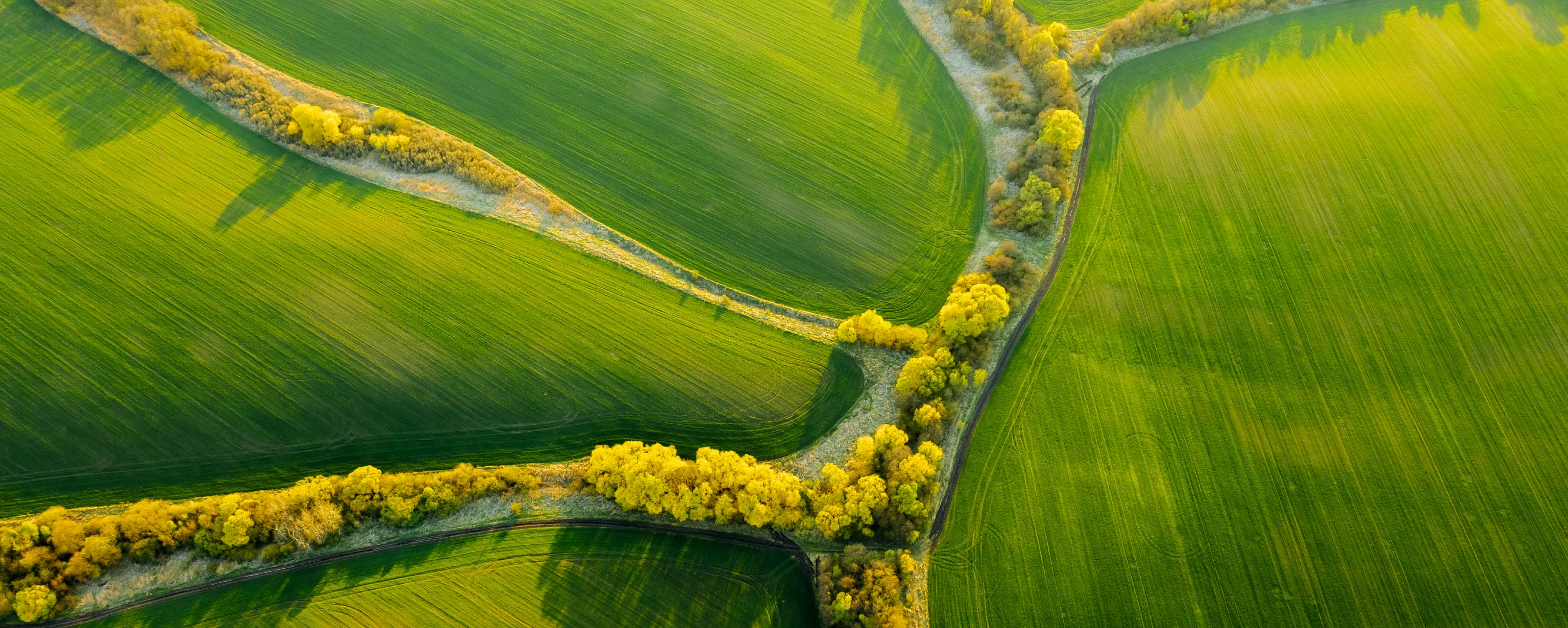
Animation

Verdict


Duration
7h 22m

Mode of travel
Car or motorcycle

Distance
408.84 km

Countries


 RouteXpert Review
 There are some great views as you descend and enter the glacial valley and drive towards Manteigas, so don’t forget your camera.
I have suggested a lunch stop at Barca de Alva on the banks of the River Douro. This is a beautiful spot with a choice of good restaurants.
The route now crosses over the River Douro and follows its path for 50 miles (80 kms) along the twisty and hilly N221. The river now marks the border with Spain and although the road is sometimes a few miles away from the river, you will still get the occasional view of the mighty Douro.
The route uses the Bemposta Dam to cross the Douro and enter into Spain; we will meet up with the river again some 60 miles (96 kms) as you approach the hotel in Zamora.
But before then; there is one more dam to cross, the Almendra Dam. The reservoir that backs up behind the dam covers 86.5 square kms and contains 2.5 billion cubic metres of water as well as several drowned villages, among them Argusinos. The dam is more than half a km wide and, at a height of 202 metres, one of Spain's tallest structures. It really is a sight to behold. From here it is an easy drive of about 1hr along a straight road, rare for this route.
I have awarded 5 stars ***** for this route. The roads and scenery are excellant and it has very good attractions.


 Links
Links  Usage
Usage Want to download this route?
You can download the route for free without MyRoute-app account. To do so, open the route and click 'save as'. Want to edit this route?
No problem, start by opening the route. Follow the tutorial and create your personal MyRoute-app account. After registration, your trial starts automatically.  Disclaimer
Use of this GPS route is at your own expense and risk. The route has been carefully composed and checked by a MyRoute-app accredited RouteXpert for use on TomTom, Garmin and MyRoute-app Navigation.
Changes may nevertheless have occurred due to changed circumstances, road diversions or seasonal closures. We therefore recommend checking each route before use.
Preferably use the route track in your navigation system. More information about the use of MyRoute-app can be found on the website under 'Community' or 'Academy'.
Braganca
About this region
Bragança may refer to:
Read more on Wikipedia
View region
 Statistics
  8
8Amount of RX reviews (Braganca)
 19569
19569Amount of visitors (Braganca)
 687
687Amount of downloads (Braganca)
 Route Collections in this region
 Ten Day Roadtrip from Spain to Portugal
This route collection describes a 10-day Road trip in the north of Spain and Portugal, a true paradise for motorcycling.
You drive over beautiful mountain ridges and through beautiful valleys. Along the way you drive through beautiful villages and countless nature reserves, great passes with countless curves, tunnels cut out of the mountains and azure blue reservoirs. The roads are fair to good, sometimes unpaved.
What you get to see along the way;
Spanish Pyrenees
Parc Naturel del Cadi-Moixero
Serra del Cadí
Serra de Moixeró
Pedraforca
Serra del Monsec
Collada de Clarà
Parque Nacional de Ordesa y Monte Perdido
Collados del Asón Natural Park.
Parque natural Saja-Besaya
Parque natural de Fuentes Carrionas y Fuente Cobre
Parque natural de la Montana de Riano y Mampodre
Picos de Europa
El Parque regional Montaña de Riaño y Mampodre
El Parque natural de Redes
The Sierra de la Culebra
Parque natural Montesinho
Along the routes there are more than enough nice places to stop for a short or longer period, these are described in the review and with a waypoint and POI included in the routes.
Have fun reading and planning your next motorcycle vacation.
If you have ridden these routes I would like to hear your feedback.
View Route Collection