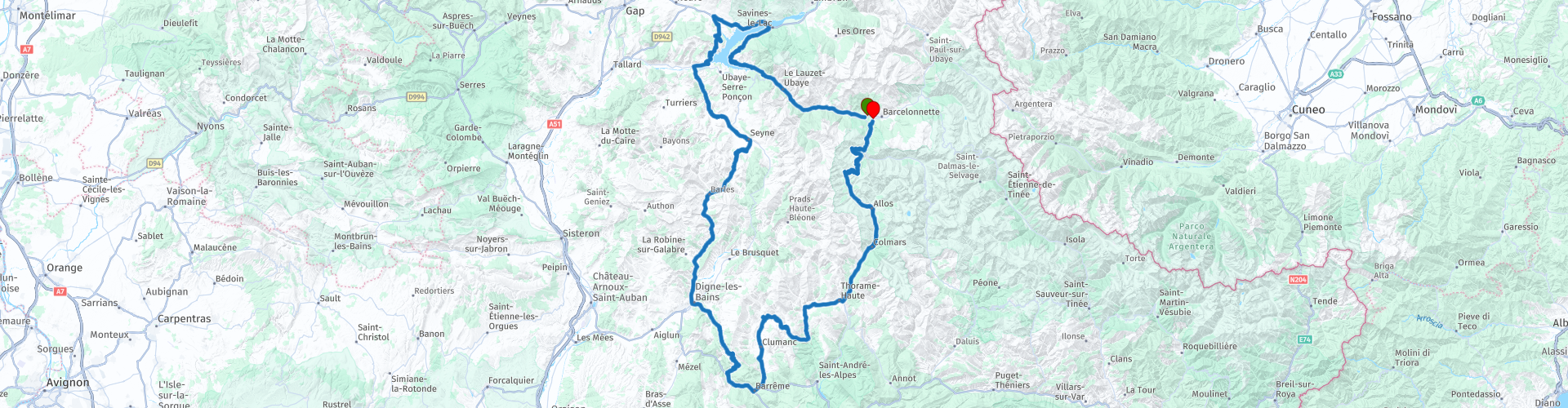
Barcelonnette Lac de Serre-Poncon

This route was brought to you by:
RouteXpert Stefan Otten - RouteXpert
Last edit: 23-02-2019
 Route Summary
  Share this route


Animation

Verdict


Duration
5h 3m

Mode of travel
Car or motorcycle

Distance
255.95 km

Countries

 RouteXpert Review
 The route starts in Barcelonnette and starts directly with a very scenic route.
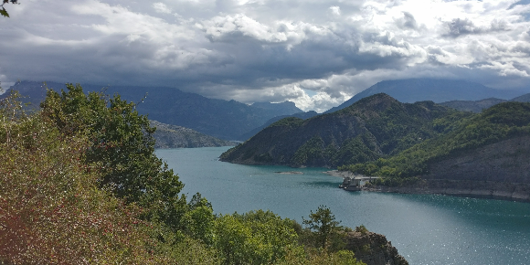
After a few kilometers you will drive over the first bridge of the Lac de Serre-Poncon.
A little insider tip in the French Maritime Alps. Almost half of the route leads around the lake.
At waypoint 6, your lake and dam can take excellent pictures. There is also a good coffee in the souvenir shop.
After a wonderful route that leads partly through very beautiful gorges you arrive in Digne-les-Baines.
We had a great lunch at waypoint 9. Opposite (behind the roundabout left) you can park fine.
After the break you continue through beautiful landscapes and you will soon be halfway behind.
At point 14 you can have a coffee at les Bellevue. A lovely hotel where we spent the 10 days in France also. The owner is Dutchman, married to a Frenchwoman.
After a few kilometers, it becomes Eng in the truest sense of the word.
The Allos Pass has it all and takes you back to Barcelonnette.
I've uploaded you a video on Facebook, where you can see how close the Allos is.
Have fun on the route.
Always keep the black down!

 Usage
Usage Want to download this route?
You can download the route for free without MyRoute-app account. To do so, open the route and click 'save as'. Want to edit this route?
No problem, start by opening the route. Follow the tutorial and create your personal MyRoute-app account. After registration, your trial starts automatically.  Disclaimer
Use of this GPS route is at your own expense and risk. The route has been carefully composed and checked by a MyRoute-app accredited RouteXpert for use on TomTom, Garmin and MyRoute-app Navigation.
Changes may nevertheless have occurred due to changed circumstances, road diversions or seasonal closures. We therefore recommend checking each route before use.
Preferably use the route track in your navigation system. More information about the use of MyRoute-app can be found on the website under 'Community' or 'Academy'.