Battle of Hurtgen Forest Navigation Grand Tour 2019 rit 2

This route was brought to you by:
RouteXpert Michel van Hagen (MRA-Founder)
Last edit: 27-10-2023
 Route Summary
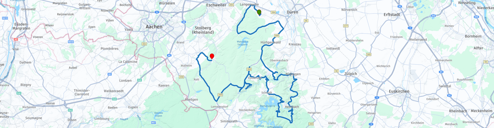
 While Operation Market-Garden was a new idea of warfare, a spear attack deep into enemy territory, the other battle, sixty miles to the southeast, engendered an old-fashioned medieval carnage of unprecedented proportions.
The American planners had devised a horrific scenario without realizing it themselves. The target was the dams in the river Roer. To this end, it was thought that first a very intensely wooded area, the Hürtgenwald, had to be cleared. The area was located in the triangle Aachen, Monschau and Düren. Why they decided to go through the woods will always be a matter of debate. Why didn't they go around the forest? The time it would take to pass through the forest gave the Germans the opportunity to burst the dams in the upper reaches of the Roer, flooding the valleys and leaving the Americans no closer to their target. The forest without the dams was worth nothing, the dams without the forest was worth gold, but, as Stephen Ambrose points out in his book Citizen Soldiers, the generals chose the "with forest" option and the author declared the decision "retarded criminal."
When the balance of the battle of Hürtgenwald was taken, one quarter of the American troops deployed, 33,000 men, had been lost. The 120,000 deployed GIs from the six divisions and an armored division lost 24,000 killed, wounded, missing and captured. In addition, another 9,000 had been discharged due to illness and exhaustion. Most of the Americans who died were interred in Margraten, in the Netherlands, and in Henry Chapelle, in Belgium.
The Germans had deployed six divisions, including a Panzer division, for the defense of Hürtgenwald, a total of 80,000 men. Four divisions were totally destroyed and the other two suffered heavy casualties. 28,000 Germans were victims of the fighting, including 12,000 dead. The rest were wounded or missing or were taken prisoner.
This route is specially made for the “MRA NAVIGATION GRAND TOUR 2019”.
 Share this route


Animation

Verdict


Duration
4h 29m

Mode of travel

Distance
154.04 km

Countries

 RouteXpert Review
 The yellow route points are points of interest related to the theme of the route.
The nice thing about MRA Navigation in combination with MRA Routeplanner Gold is that you can color the route points on the website and add text to them. You can then see the color and text on your smartphone in the navigation app!
TIP!
It is nice to read in advance, in my opinion that gives the ride added value.


 Links
Links  Usage
Usage Want to download this route?
You can download the route for free without MyRoute-app account. To do so, open the route and click 'save as'. Want to edit this route?
No problem, start by opening the route. Follow the tutorial and create your personal MyRoute-app account. After registration, your trial starts automatically.  Disclaimer
Use of this GPS route is at your own expense and risk. The route has been carefully composed and checked by a MyRoute-app accredited RouteXpert for use on TomTom, Garmin and MyRoute-app Navigation.
Changes may nevertheless have occurred due to changed circumstances, road diversions or seasonal closures. We therefore recommend checking each route before use.
Preferably use the route track in your navigation system. More information about the use of MyRoute-app can be found on the website under 'Community' or 'Academy'.