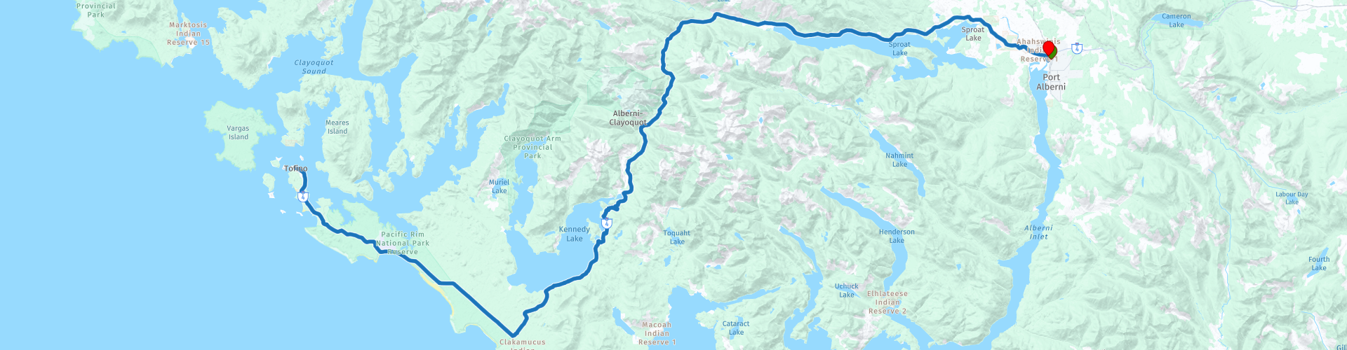
D14 Port Alberni Tofino Port Alberni

This route was brought to you by:
RouteXpert Hans van de Ven (Mr.MRA)
Last edit: 20-10-2019
 Route Summary
 The roads are good and the views along the way are so beautiful that you will also regularly stop in this route to capture it on photos.
Start and end point: Best Western Plus Barclay Hotel
The route has been made the same for TomTom, Garmin and MyRoute-app Navigation users.
Thanks to Richard & Lisa for the information!
 Share this route


Animation

Verdict


Duration
3h 34m

Mode of travel
Car or motorcycle

Distance
247.13 km

Countries

 RouteXpert Review
 The park has a total of five hundred square kilometers and consists of the areas Long Beach, the West Coast Trail and Broken Group Islands, which can only be reached by boat. Activities on the beach are best planned during low tide. More information about the tides can be found in the visitor centers. The largest visitor center is the Pacific Rim Visitor Center, at the intersection between Ucluelet and Tofino (Highway 4). Tofino has less than 2,000 inhabitants, but is visited by tourists throughout the year.
From mid-March to mid-April, the location is dominated by whale migration. From the south, thousands of gray whales swim to the nutrient-rich waters of Alaska. They come along the coast of Clayoquot Sound. These large marine mammals can also be spotted outside the period of whale migration.
From Tofino, numerous (boat) excursions are organized to observe the animals in their natural habitat. There are also bear cruises, where you look for black bears. Also popular is a trip to Hot Springs Cove, an inlet in an old rainforest with natural hot springs
In this 4 star route you drive on beautiful good roads, through a beautiful environment, a long stop in Tofino you should definitely do.
History:
An estimated 100,000 First Nations lived on Vancouver Island before European discoverers reduced the numbers by more than eighty percent in the nineteenth century through infectious diseases such as smallpox. James Cook claimed the environment of present-day Tofino in 1778 in the name of Great Britain. This led to a battle between the British and the Spaniards, who had claimed the west coast. A war was averted by no less than three treaties: the Nootka Conventions.
In 1890 the first self-sufficient families settled on the Esowista peninsula, on which lies Tofino. Later, in 1909, the place was given the same name as the cove: Tofino. Many migrants from Norway, Scotland and England settled there. The development of Tofino as a tourist destination started slowly but surely. In the beginning of the twentieth century the place was known as 'Tough City', because of the long, wet and stormy winters. Moreover, Tofino was only accessible by boat. From 1960 the place became more popular among tourists. They mainly came for Long Beach, the long sandy beach between Tofino and Ucluelet. With the opening of the Pacific Rim National Park, which borders almost directly on both places, and the asphalting of the access road, tourism really got off to a good start.


 Links
Links  Usage
Usage Want to download this route?
You can download the route for free without MyRoute-app account. To do so, open the route and click 'save as'. Want to edit this route?
No problem, start by opening the route. Follow the tutorial and create your personal MyRoute-app account. After registration, your trial starts automatically.  Disclaimer
Use of this GPS route is at your own expense and risk. The route has been carefully composed and checked by a MyRoute-app accredited RouteXpert for use on TomTom, Garmin and MyRoute-app Navigation.
Changes may nevertheless have occurred due to changed circumstances, road diversions or seasonal closures. We therefore recommend checking each route before use.
Preferably use the route track in your navigation system. More information about the use of MyRoute-app can be found on the website under 'Community' or 'Academy'.