TTT 2016 07 Roosendaal Etten Leur

This route was brought to you by:
RouteXpert Hans van de Ven (Mr.MRA)
Last edit: 05-01-2020
 Route Summary
 This TTT are touring through the Netherlands with the occasional trip to Belgium, Germany or even Luxembourg, which are driven 6 to 7 times a year. The 1st around March and the last around October. These TTTs have a starting point, a pause location and an end point. It is nice to discover what you have not seen in your own country and which nice roads you did not know before.
This TTT is from 2016, so the route may differ slightly from the original.
I have checked all route points and, where necessary, placed them neatly on the road. Also, if necessary, I have further set the starting point and end point of the route a little further apart to prevent navigation to the end point directly and added the POI files of the start and end point, as well as possible pause location (s).
Finally, I made the route the same for TomTom, Garmin and MRA Navigation users.
Thanks to ANWB / Promoter.
 Share this route


Animation

Verdict


Duration
3h 13m

Mode of travel
Car or motorcycle

Distance
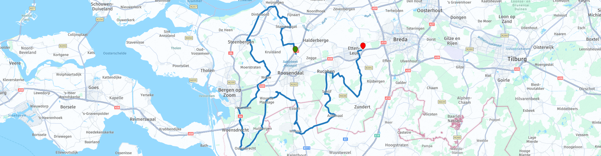
127.75 km

Countries


 RouteXpert Review
 Laughing at that name, but did you know that Stampersgat was almost called Stoutersgat? In fact, those names were simply used interchangeably. It was because there were two farming families - Stamper and Stouter - who competed for the honor. But everyone agreed that it was a hole!
Oud-Gastel is close to Stampersgat. The question that now immediately arises is of course; but where is Nieuw Gastel then? Yet it is better not to ask this question in West Brabant. Men will look silently at the ground, women will burst into sobs. And certain minorities will go to the police station to report the offense.
New Gastel no longer exists. According to some, it disappeared in the waves of the Sint Elizabeths flood of 1421. Others cite the piercing of the dikes by State troops in 1583 as the cause. In any case, New Gastel disappeared from the menu, perhaps even twice.
After the flood, a reconstruction followed with a strong dyke and a polder. Two families settled here. Stamper and Stouter. Dinteloord is above that, but if we start talking about that, we will not be finished tomorrow. Anyway, this is an area where you will ride the last TTT of 2016. Along forests, meandering streams, moors and motorways. (Text: Promoter 8-2016)
There are stops to take photos and / or stop for coffee / lunch on the way in Steenbergen, Hoogerheide, Essen (B) and Achtmaal
Because I have driven this route myself, this route gets 5 stars.
Route details:
rp 13 - Liberation monument Welberg
rp 20 - The Clover. - Coffee / lunch stop
rp 27 - De Bakkersmolen
rp 30 - Timberwolfs WW2


 Links
Links  Usage
Usage Want to download this route?
You can download the route for free without MyRoute-app account. To do so, open the route and click 'save as'. Want to edit this route?
No problem, start by opening the route. Follow the tutorial and create your personal MyRoute-app account. After registration, your trial starts automatically.  Disclaimer
Use of this GPS route is at your own expense and risk. The route has been carefully composed and checked by a MyRoute-app accredited RouteXpert for use on TomTom, Garmin and MyRoute-app Navigation.
Changes may nevertheless have occurred due to changed circumstances, road diversions or seasonal closures. We therefore recommend checking each route before use.
Preferably use the route track in your navigation system. More information about the use of MyRoute-app can be found on the website under 'Community' or 'Academy'.