TTT 2009 01 Gouda Wateringen

This route was brought to you by:
RouteXpert Hans van de Ven (Mr.MRA)
Last edit: 17-03-2019
 Route Summary
 The 173 ANWB Promoter TankTasTocht (TTT) were scanned by Henry ten Dam and signed by Leon Stolk in Mapsource and later placed as a Track in a .gpx file. These have been made available through the MrGPS website with the approval of the ANWB Promoter so that everyone can enjoy it. The 1st TTT is from 1992, so the route may differ slightly from the original.
I have checked all route points and, where necessary, placed them neatly on the road. Also, if necessary, I have further spaced the start point and end point of the route to avoid navigating directly to the end point, and I added the POI files from the start and end point just like a possible stop.
Finally, I made the route the same for TomTom, Garmin and MyRoute-app Navigation users.
Thanks to Henry, Leon, MrGPS and Promoter.
 Share this route


Animation

Verdict


Duration
3h 45m

Mode of travel
Car or motorcycle

Distance
126.39 km

Countries

 RouteXpert Review
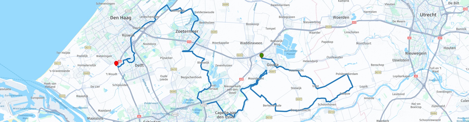
 After lunch a little more urban area and then suddenly you drive along the "Rottemeren" *, then you tap Bleiswijk and you go through Zoetermeer, did you know that the Headquarters of MyRoute-app is in Zoetermeer?
* The Rottemeren is a system of widening the river Rotte located between the A12 in the north, Bleiswijk in the west, Zevenhuizen in the east and Oud Verlaat in the south. They are located on the border of the municipalities of Lansingerland and Zuidplas. (Source: Wikipedia).
After Zoetermeer, another piece of rural area and then via Leidschendam, Rijswijk and Delft to the end point in Wateringen.
Because I have not (yet) driven this route myself, this route gets 3 stars.
Route details:
rp 13 - Lunch possibility at "De Bank" in Capelle aan den IJssel.


 Links
Links  Usage
Usage Want to download this route?
You can download the route for free without MyRoute-app account. To do so, open the route and click 'save as'. Want to edit this route?
No problem, start by opening the route. Follow the tutorial and create your personal MyRoute-app account. After registration, your trial starts automatically.  Disclaimer
Use of this GPS route is at your own expense and risk. The route has been carefully composed and checked by a MyRoute-app accredited RouteXpert for use on TomTom, Garmin and MyRoute-app Navigation.
Changes may nevertheless have occurred due to changed circumstances, road diversions or seasonal closures. We therefore recommend checking each route before use.
Preferably use the route track in your navigation system. More information about the use of MyRoute-app can be found on the website under 'Community' or 'Academy'.