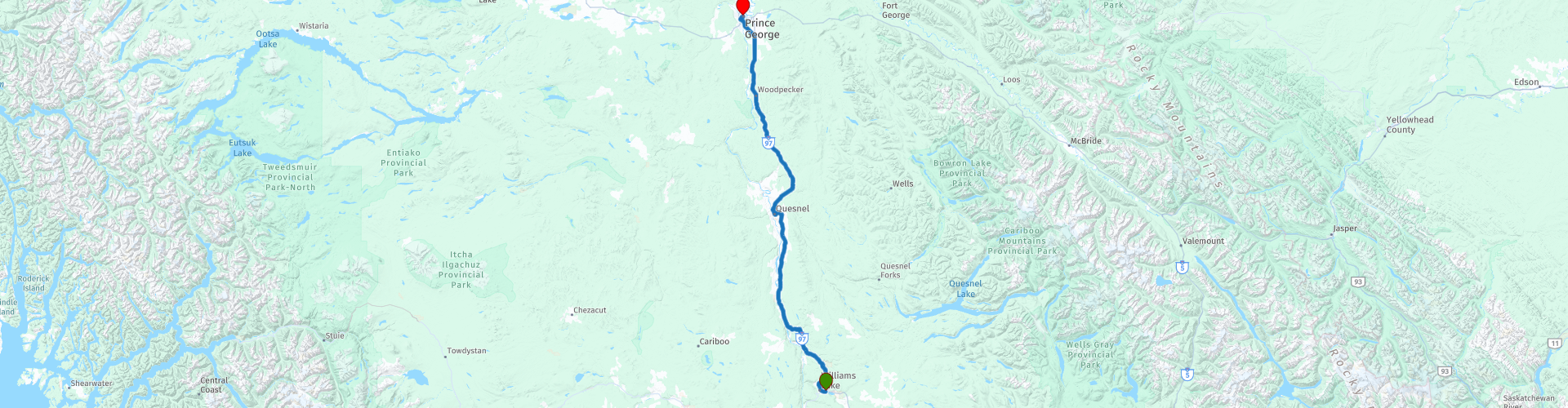
D03 Williams Lake Prince George

This route was brought to you by:
RouteXpert Hans van de Ven (Mr.MRA)
Last edit: 29-11-2019
 Route Summary
 The roads are very good, the area very beautiful and a stop in Quesnel is definitely recommended.
Starting point: Best Western-Williams Lake
End point: Ramada Hotel Prince George
The route has been made the same for TomTom, Garmin and MyRoute-app Navigation users.
Thanks to Richard & Lisa for the information!
 Share this route


Animation

Verdict


Duration
2h 52m

Mode of travel
Car or motorcycle

Distance
243.72 km

Countries

 RouteXpert Review
 Quesnel is a good base for visiting one of the surrounding provincial parks, such as the Ten Mile Lake Provincial Park and Pinnacles Provincial Park. In the center you will find many different architectural styles that reflect the history of the town. The Hudson's Bay Company Building dates from 1866. The owner was Gustavus Blin Wright, one of the first residents of Quesnel and a road builder. Other buildings are the Jonston Farm from before 1900 and the first Fire Bell Tower from 1911. In addition, we can visit the St. Andres United Church, Quesnel Pioneer Cemetery and the Fraser River Walking Bridge from 1929.
The landscape of Prince George, British Columbia's 'Northern Capital', is dominated by the Nechako and Fraser rivers. In the water-rich landscape, which was once the site of First Nations and European traders, you will find the oldest buildings in the region. Local museums and parks pay a lot of attention to history and forestry. Mr. PG is the landmark of Prince George. The eight meter high statue is the official mascot of the city and symbolizes the importance of the wood industry.
In this 4-star route you drive on beautiful good roads, through a breathtaking environment and a stop in Quesnel is definitely worth it.
History:
For thousands of years, the Prince George region was the territory of the Lheidli T'Enneh First Nations (freely translated: people of the meeting of two rivers). The place where the rivers meet was an important stop on transport and trade routes. The origins of Prince George go back to the fur trade of the North West Company. Simon Fraser founded Fort George in 1807 in the name of the trading company. The fort, which was actually a trading post, was given the name of King George III. In addition to goods, people also transported passengers across the rivers. The activity increased, and a small village emerged alongside the trading post: South Fort George, which flourished thanks to forestry. When the Grand Trunk Pacific Railway reached the region in 1913, the intersection of the two rivers became the new center, named Prince George. In the 1950s, Prince George became the most important and largest city in northern British Columbia.


 Links
Links  Usage
Usage Want to download this route?
You can download the route for free without MyRoute-app account. To do so, open the route and click 'save as'. Want to edit this route?
No problem, start by opening the route. Follow the tutorial and create your personal MyRoute-app account. After registration, your trial starts automatically.  Disclaimer
Use of this GPS route is at your own expense and risk. The route has been carefully composed and checked by a MyRoute-app accredited RouteXpert for use on TomTom, Garmin and MyRoute-app Navigation.
Changes may nevertheless have occurred due to changed circumstances, road diversions or seasonal closures. We therefore recommend checking each route before use.
Preferably use the route track in your navigation system. More information about the use of MyRoute-app can be found on the website under 'Community' or 'Academy'.