TTT 2008 01 Puttershoek Brielle

This route was brought to you by:
RouteXpert Hans van de Ven (Mr.MRA)
Last edit: 17-03-2019
 Route Summary
 The 173 ANWB Promoter TankTasTocht (TTT) were scanned by Henry ten Dam and signed by Leon Stolk in Mapsource and later placed as a Track in a .gpx file. These have been made available through the MrGPS website with the approval of the ANWB Promoter so that everyone can enjoy it. The 1st TTT is from 1992, so the route may differ slightly from the original.
I have checked all route points and, where necessary, placed them neatly on the road. Also, if necessary, I have further spaced the start point and end point of the route to avoid navigating directly to the end point, and I added the POI files from the start and end point just like a possible stop.
Finally, I made the route the same for TomTom, Garmin and MyRoute-app Navigation users.
Thanks to Henry, Leon, MrGPS and Promoter.
 Share this route


Animation

Verdict


Duration
4h 8m

Mode of travel
Car or motorcycle

Distance
129.79 km

Countries

 RouteXpert Review
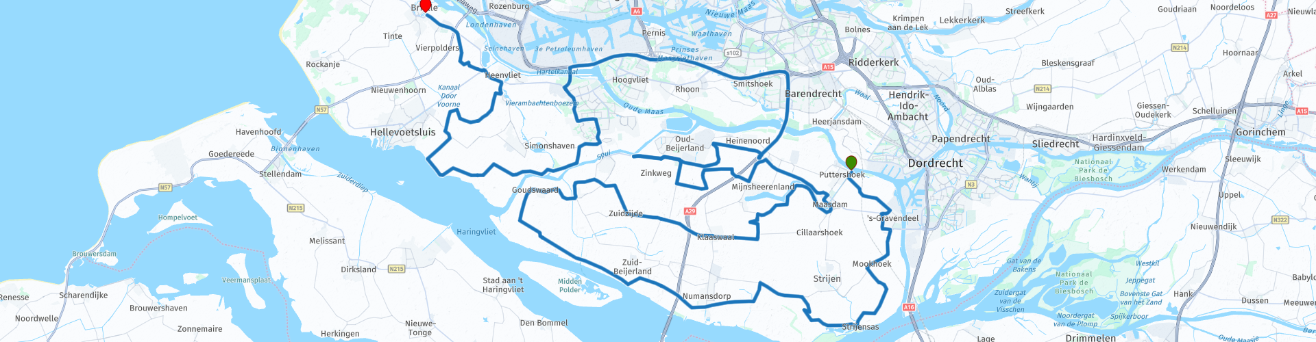
 * The South Holland island of Voorne is the western part of the double island of Voorne-Putten. It is separated from the island of Putten by the water of the Bernisse. (Source: Wikipedia).
Soon after the start of the route you will pass the Hollandsch Diep **.
** Hollandsch Diep is the name for a large river arm in the Netherlands, which is connected to the Rhine and the Maas. The Hollandsch Diep is an important part of the shipping route from Rotterdam to Antwerp (Source: Wikipedia).
After the "Vuile Gat" ***, turn right towards Maasdam for lunch.
*** The Vuile Gat is the piece of water between Zuid-Beijerland / Nieuwendijk and the island of Tiengemeten. The Vuile Gat connects both east and west to the Haringvliet. A ferry crosses the Vuile Gat from Nieuwendijk to the nature island of Tiengemeten. (Source: Wikipedia).
After lunch you head back to the Haringvliet and then to the end point in Brielle.
Because I have not (yet) driven this route myself, this route gets 3 stars.
Route details:
rp 27 - Lunch stop at Hotel-Restaurant De Hoogt in Maasdam.


 Links
Links  Usage
Usage Want to download this route?
You can download the route for free without MyRoute-app account. To do so, open the route and click 'save as'. Want to edit this route?
No problem, start by opening the route. Follow the tutorial and create your personal MyRoute-app account. After registration, your trial starts automatically.  Disclaimer
Use of this GPS route is at your own expense and risk. The route has been carefully composed and checked by a MyRoute-app accredited RouteXpert for use on TomTom, Garmin and MyRoute-app Navigation.
Changes may nevertheless have occurred due to changed circumstances, road diversions or seasonal closures. We therefore recommend checking each route before use.
Preferably use the route track in your navigation system. More information about the use of MyRoute-app can be found on the website under 'Community' or 'Academy'.