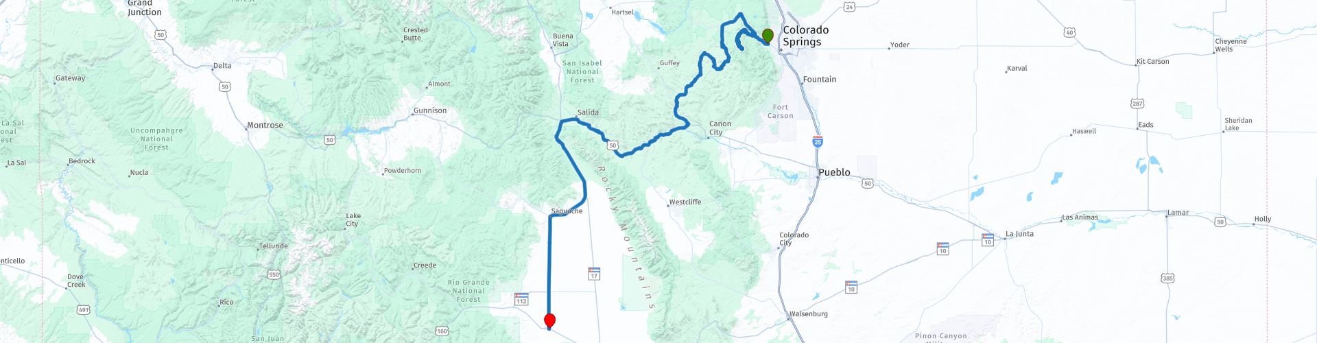
Colorado Springs to Monte Vista via Pikes Peak

This route was brought to you by:
RouteXpert Paul Hedges - Adv RouteXpert
Last edit: 16-04-2020
 Route Summary
 800 year old ruins followed by 12 miles heading up hill through 159 curves. Mountains are a big part of this 250 miles, they fill the skies and the horizons around you. Add a small history opportunity in Cripple Creek and more mountains to end the day. 4 stay day for just the scenery, the roads are an added bonus
 Share this route


Animation

Verdict


Duration
6h 52m

Mode of travel
Car or motorcycle

Distance
396.20 km

Countries

 RouteXpert Review
 Getting to Colorado Springs was flat and straight, leaving Colorado Springs is the complete opposite.
As you head out of Manitou Springs through the red rocks that surround you on both sides of the road you are soon taking a turn to visit the Manitou Cliff Dwellings
The Manitou Cliff dwellings are comprised of Anasazi ruins that date back 800 to 1000 years old
Continuing along the 24 the Colorado Front Range of mountains fill the skies in front of you. The signs are soon letting you know that Pikes Peak Highway is close. Before very long you are stopped at the log cabin and paying the $10 and making your way along the road and pass the start point of the Pikes Peak International Hill Climb. You are now riding the same 12.42 miles, 156 turns and 14115ft elevation change that the racers experience. This road is not for the faint hearted, the roads have no barriers and the thin air as you go higher may impact the performance and fuel consumption of your vehicle. The Pike's Peak Highway is open year-round, with the keywords "weather permitting." They do keep the road ploughed during the winter, but you want to check weather and road conditions before you go, especially if you aren't going during the summer.
Once you have been up and enjoyed the views and taken the road back down again it is time to take the US-24 to Woodland Park, after the tight twists and turns of Pikes Peak the 4 lanes of the US-24 will feel very wide, and fast.
Turning out of Divide and towards Mueller State Park the road starts to once again winds through the trees as the mountains start to grow on the horizon. It continues to snake along until arriving in Cripple Creek. Take a break and enjoy the Cripple Creek Jail Museum (WP22)
Housed in a red-brick building that served as the Teller County Jail for nearly 90 years, this historic Cripple Creek museum gives visitors a taste of the shadier side of life in the World’s Greatest Gold Camp, along with a glimpse into the lives of the lawmen charged with keeping the peace.
Leaving Cripple Creek, the road just becomes one long bend that changes from right to left. 120 miles of leaning from left to right as the mountains fill the scenery on all sides.
Eventually ending up in Monte Vista for the night


 Links
Links  Usage
Usage Want to download this route?
You can download the route for free without MyRoute-app account. To do so, open the route and click 'save as'. Want to edit this route?
No problem, start by opening the route. Follow the tutorial and create your personal MyRoute-app account. After registration, your trial starts automatically.  Disclaimer
Use of this GPS route is at your own expense and risk. The route has been carefully composed and checked by a MyRoute-app accredited RouteXpert for use on TomTom, Garmin and MyRoute-app Navigation.
Changes may nevertheless have occurred due to changed circumstances, road diversions or seasonal closures. We therefore recommend checking each route before use.
Preferably use the route track in your navigation system. More information about the use of MyRoute-app can be found on the website under 'Community' or 'Academy'.