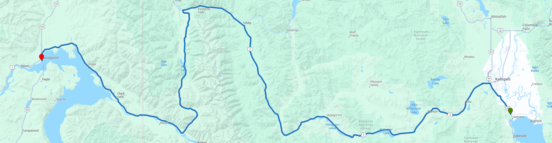
D08 Kalispell Sandpoint

This route was brought to you by:
RouteXpert Hans van de Ven (Mr.MRA)
Last edit: 02-05-2021
 Route Summary
 The roads are very good, the surroundings beautiful, enjoy the many lakes along the way and you should definitely make a stop along Lake Oreille.
Starting point: Best Western Plus Flathead Lake Inn and Suites
End point: Best Western Edgewater Resort
The route has been made the same for TomTom, Garmin and MyRoute-app Navigation users.
Thanks to Richard & Lisa for the information!
 Share this route


Animation

Verdict


Duration
4h 51m

Mode of travel
Car or motorcycle

Distance
308.59 km

Countries

 RouteXpert Review
 Sandpoint is a small town with approximately 7,000 inhabitants and is located on the nearly seventy-kilometer-long Lake Pend Oreille. It is a holiday destination with a lively arts community, a full event calendar and many restaurants, hotels and shops.
A market takes place twice a week in Farmin Park from May to October. Fresh products are sold, but also handmade items and flowers. There is also live music. Another market is the Cedar Street Bridge Public Market. This market is the only market in the US that takes place on a bridge. At this market you can buy clothing and jewelry, among other things.
In this 4-star route you will drive on beautiful good roads, and through beautiful surroundings, the Sinclair Pass, the Glacier National Park with the many lakes where you will certainly stop 1 or more times.
History:
Before Sandpoint officially became a city in 1907, members of the Kalispel tribe lived there. Their habitat extended in a northerly direction from the Priest and Pend Oreille Lakes to the Pend Oreille River in Canada. In the east, the state of Montana formed the border. The first settlers came with the construction of the Northern Pacific Railroad at the end of the nineteenth century. On the east side of Sand Creek, opposite the current Sandpoint, a small settlement was created: Pend Oreille. The Great Northern Railroad bought a large piece of land along the west bank of Sand Creek, and built a village here that would later develop into the current Sandpoint. Mining and forestry became important sources of income. Farmers went their own way on deforested land. Because the growing season in northern Idaho is very short, they did not grow crops, but used the so-called 'stump ranches' mainly for growing grass. The hay that was 'harvested' went to the horses that were used in the wood industry. Nowadays the emphasis is more on tourism. In the winter months, the Schweitzer Basin ski area is a big draw and in the summer tourists come because of the large (water) recreation offer.


 Links
Links  Usage
Usage Want to download this route?
You can download the route for free without MyRoute-app account. To do so, open the route and click 'save as'. Want to edit this route?
No problem, start by opening the route. Follow the tutorial and create your personal MyRoute-app account. After registration, your trial starts automatically.  Disclaimer
Use of this GPS route is at your own expense and risk. The route has been carefully composed and checked by a MyRoute-app accredited RouteXpert for use on TomTom, Garmin and MyRoute-app Navigation.
Changes may nevertheless have occurred due to changed circumstances, road diversions or seasonal closures. We therefore recommend checking each route before use.
Preferably use the route track in your navigation system. More information about the use of MyRoute-app can be found on the website under 'Community' or 'Academy'.