15 Pionier Energieroute

This route was brought to you by:
RouteXpert Hans van de Ven (Mr.MRA)
Last edit: 22-03-2025
 Route Summary
 This is the 15th in a series of 43 Endangered ANWB routes. These were published in the Promotors between April 2015 and September 2016.
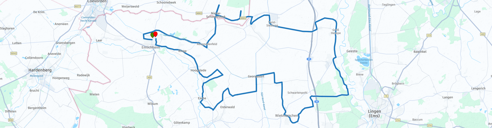
The 15th Pioneer Route takes you right through the Emsland and along the Dutch border, with vast peat areas, quiet marshes and historic peat areas. You start and end at the Raiffeisen Tankstelle in Emlichheim. The route winds through quiet villages, deserted peat landscapes and surprisingly beautiful nature reserves, where the old energy history is still tangible. The roads are well maintained and offer relaxed driving pleasure, hence the award of 3 stars
 Share this route


Animation

Verdict


Duration
3h 40m

Mode of travel
Car or motorcycle

Distance
112.81 km

Countries


 RouteXpert Review
 You start the route at the Raiffeisen Tankstelle in Emlichheim. Fill up with fuel, maybe a snack, and then head for the border. You soon drive along the Coevorden-Picardiëkanaal, an old waterway that once symbolized grand plans. It is quiet here. The air is vast. The water lies tightly in the landscape and invites you to a short photo stop. You cross the border and glide along country roads towards Ringe. In the Hochmoor Ringe you can smell the peat. You feel it in the air, in the silence. A wooden boardwalk winds through the raised bog. Birds fly low and the reeds rustle along with your engine as you slowly continue. The route bends to Nieuw-Schoonebeek, where the traces of oil extraction remain visible. The names recall engineers, canals and labor. The peat tells its own story. Not much later you cross the border again and reach the Emsland-Moormuseum. Here you make a short stop at the Tour Photo Point. Old tools, narrow gauge railway and large peat blocks bring the past to life. Via quiet roads and quiet fields you approach Lingen, where Restaurant Kiebitz welcomes you with schnitzel, steak or a hearty German lunch. It is warm inside, outside it smells of coffee and fried onion. Time to stand still for a moment. And then: on the road again.
After the break, the route winds through Wietmarschen, a region full of long straight roads through barren plains. This is energy territory – literally. You pass the Dalum-Wietmarscher Moor, a rugged piece of nature where the horizon seems endless. Here you ride alone with your thoughts and your engine, nothing more and nothing less.
The route slowly bends back towards Emlichheim. You ride through small villages with resounding names such as Osterwald, Neuenhaus and Hoogstede. Once again you ride along peat routes and along grass dikes, under high skies and over quiet asphalt strips. And then, after more than 110 kilometres of history, nature and relaxation, you are back at the Raiffeisen Tankstelle. The circle is complete.
The 15th Pioneer Route is one for those seeking peace and quiet, nature lovers and riders who love landscapes with a story. The roads are good and clear, the surroundings breathe history and the stops are surprisingly interesting. You ride through a forgotten border region full of energy - literally and figuratively.
This ride is at its best in spring or early autumn, when the peat is wet, the air is low and the road is open before you.


 Links
Links  Usage
Usage Want to download this route?
You can download the route for free without MyRoute-app account. To do so, open the route and click 'save as'. Want to edit this route?
No problem, start by opening the route. Follow the tutorial and create your personal MyRoute-app account. After registration, your trial starts automatically.  Disclaimer
Use of this GPS route is at your own expense and risk. The route has been carefully composed and checked by a MyRoute-app accredited RouteXpert for use on TomTom, Garmin and MyRoute-app Navigation.
Changes may nevertheless have occurred due to changed circumstances, road diversions or seasonal closures. We therefore recommend checking each route before use.
Preferably use the route track in your navigation system. More information about the use of MyRoute-app can be found on the website under 'Community' or 'Academy'.