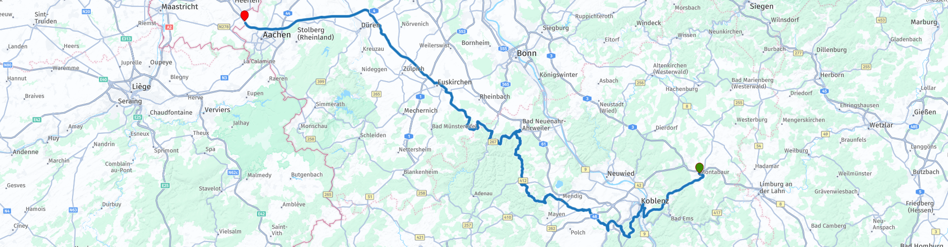
D10 Montabaur Heerlen

This route was brought to you by:
RouteXpert Albert van den Elsen
Last edit: 25-12-2023
 Route Summary
 A route that starts in Montabaur will ultimately end at Heerlen. This route will certainly leave you with an impressive impression. Like all other routes, this route runs through beautiful nature reserves and you can enjoy beautiful views.
The highlights of this route are the area between the Rhine and the Moselle, your trip along the Moselle river and the Ahr area.
In this route you visit a historic viewpoint near the city of Koblenz.
You mainly drive on back roads through beautiful areas along beautiful rivers. That's why I rate this route four stars.
Start: Hotel Schloß Montabaur
End: Subways Heerlen on the A76
 Share this route


Animation

Verdict


Duration
5h 26m

Mode of travel
Car or motorcycle

Distance
222.63 km

Countries

 RouteXpert Review
 After crossing the Rhine, you arrive at the 'Deutsche Eck'.
Located in the so-called 'Altstad', this viewpoint is located at the point where the Moselle and the Rhine meet, next to the imposing monument. From the viewpoint you can enjoy a beautiful view of both rivers. The monument has a deeper meaning, namely symbolizing German unity. Construction of the monument began in 1897 and was completed in 1911. It contains a statue of Emperor Wilhelm I on horseback.
After your visit to the Deutsche Eck you drive to the impressive area between the Rhine and the Moselle.
From Winningen you follow the beautiful route along the Moselle to the village of Kobern-Gondorf, a village where renowned wine varieties such as Riesling, Elbling and Müller-Thurgau have been grown for centuries.
The steep slopes in this area along the Moselle River create optimal conditions for viticulture and contribute to the unique flavor profiles of the wines from this region. The sight of these vineyards adds a special dimension to your trip.
After crossing the Moselle you drive towards your first coffee stop at Mendig at a local bakery.
After this break, you continue to the Ahr valley, a wine region that, like the Moselle region, is known for its many wine varieties.
Just think of the Spätburgunder, also known as Pinot Noir, and the other high-quality and characteristic wines, such as the Spätburgunder grape, the Frühburgunder (an early-maturing variant of the Pinot Noir) and Dornfelder.
Viticulture in this area thrives thanks to the steep slopes and specific climatic conditions. The shelter from cool winds provided by the surrounding hills, the soil conditions of slate and the heat buffer of the Ahr contribute to the creation of a unique microclimate that promotes optimal ripening of the different types of grapes.
Not everything is rosy in this area, in June 2021 the adjacent villages fell victim to the persistent rain together with the large supply of water from the Rhine.
The steep slopes flooded this area, transformed into a deep channel, at a rapid pace.
That year, residents were surprised at night and had nowhere to go. This caused a lot of suffering and damage to roads and buildings. If you pass by, you will see that they are still restoring and rebuilding this area.
Just after passing Altenahr, you can make a lunch stop at Hotel Kalenborner Höhe in Kalenborner. This cozy establishment offers an extensive menu, so there is plenty of choice for everyone. And then comes the last part of this route. Looking back, it was a route that was worth it again this time.
After another fuel stop in Flamersheim, where you can take advantage of the favorable German fuel prices, the last part of this journey begins, which takes you back to the Netherlands via the highway. Just across the border, the last stop is planned at Subways, which also marks the end of this route.


 Links
Links  Usage
Usage Want to download this route?
You can download the route for free without MyRoute-app account. To do so, open the route and click 'save as'. Want to edit this route?
No problem, start by opening the route. Follow the tutorial and create your personal MyRoute-app account. After registration, your trial starts automatically.  Disclaimer
Use of this GPS route is at your own expense and risk. The route has been carefully composed and checked by a MyRoute-app accredited RouteXpert for use on TomTom, Garmin and MyRoute-app Navigation.
Changes may nevertheless have occurred due to changed circumstances, road diversions or seasonal closures. We therefore recommend checking each route before use.
Preferably use the route track in your navigation system. More information about the use of MyRoute-app can be found on the website under 'Community' or 'Academy'.